This 8km moderate loop explores forest paths and green tracks beneath the slopes of Knockanaffrin Ridge. The return route follows part of the old Clonmel to Kilmeaden military road—built after the 1798 Rebellion—offering walkers a scenic journey through history and nature. Trailhead: Glenpatrick Bridge Picnic Area, near Rathgormack.
Glenpatrick Bridge Walk, Rathgormack
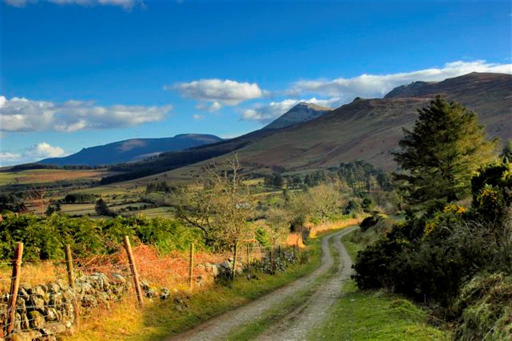
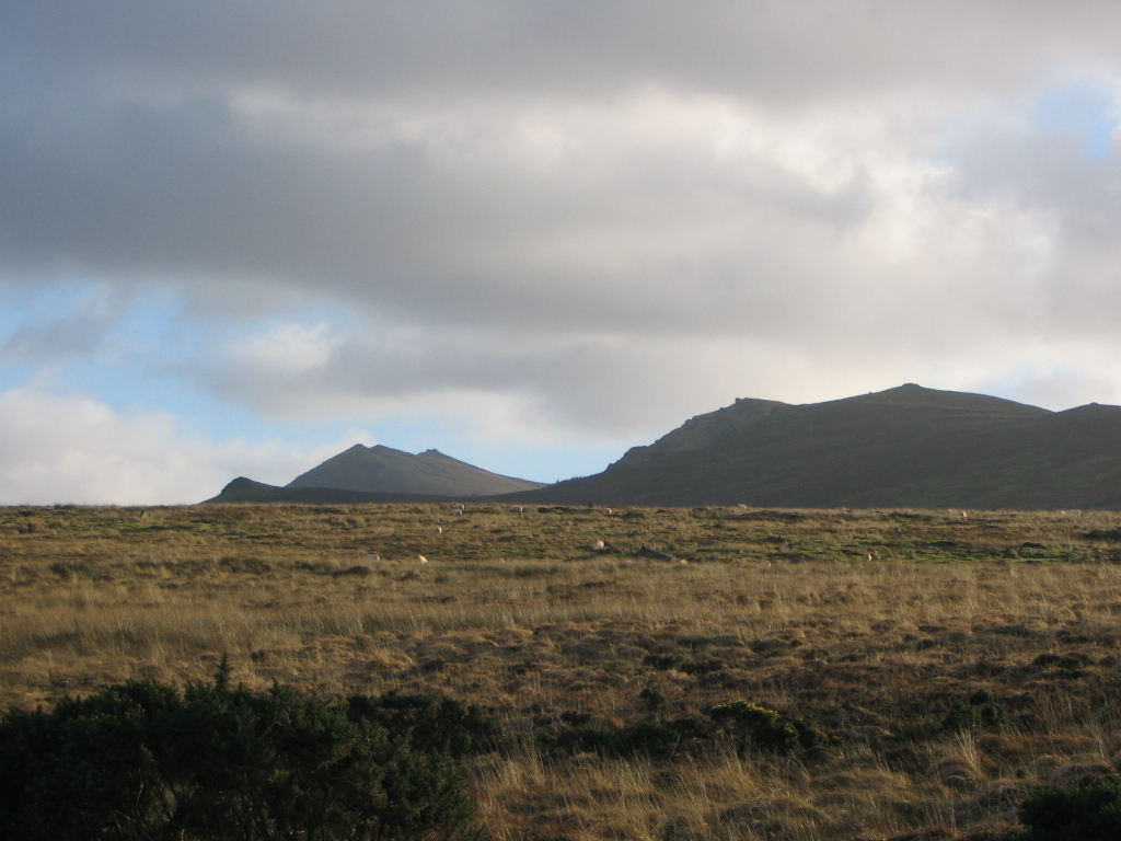
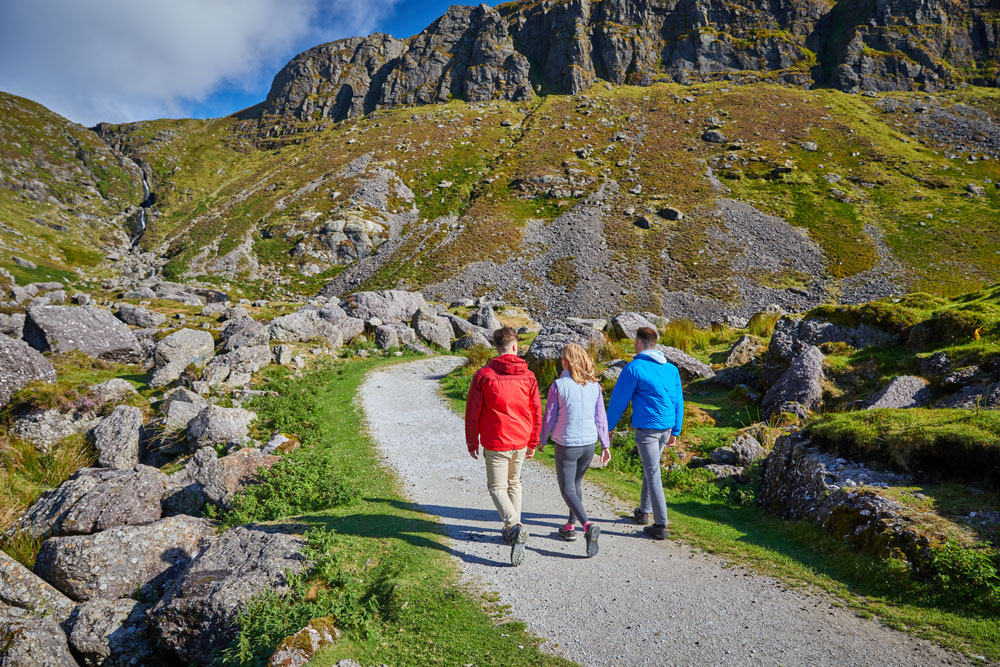
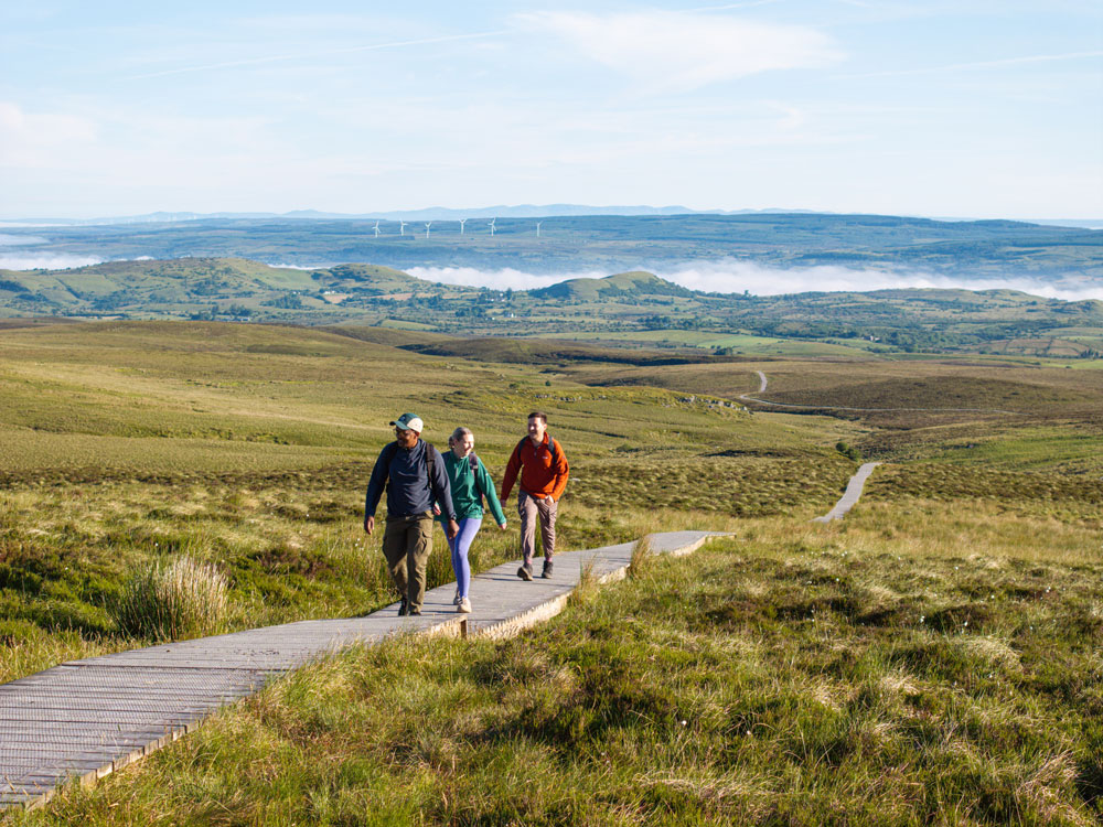
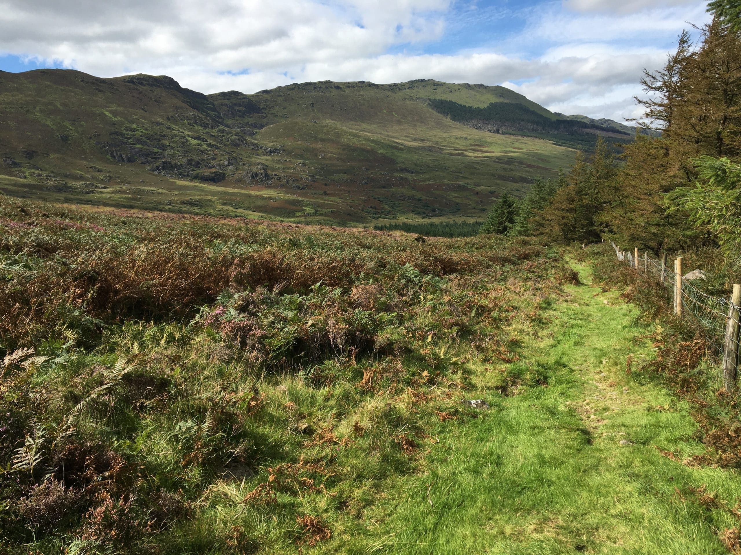
This 8km moderate walk is along a mostly forestry roads and tracks. The second half of the walk is particularly interesting as you take a trip back in time under the north eastern slopes of Knockanaffrin Ridge along part of the old and very scenic “Clonmel to Kilmeaden” road, a military road built in the early 19th century in response to the 1798 Rebellion and local faction fighting.
Directions:
From the village of Rathgormack on the R678 (Distance from Clonmel: 19 km, Waterford: 40 km, Carrick on Suir: 10 km, Dungarvan: 29 km), follow the R678 in the direction of Clonmel. A little over 5km after Rathgormack (in the direction of Clonmel) turn right onto the L3061 (also known as Carney’s Road). After 500 metres the trailhead/parking area is on your right hand side.
Distance | 8km |
Duration | 2 to 2.5 hours |
Parking | Yes |
Grade | Moderate |
Terrain | Forestry roads, tracks, green tracks and local roads |
Type | Loop |
Ascent | 160 metres |
Suitable for | Moderate level of fitness |
Minimum Gear | Trekking shoes, raingear, fluid, mobile phone |
Trailhead GPS Coordinates | 52.326044, -7.577027 |
OSI Map | 75, S-289194 |
Trailhead | Glenpatrick Bridge Picnic Area |
Nearest Town/Village | Rathgormack |
Map
Overview
This 8km moderate loop explores forest paths and green tracks beneath the slopes of Knockanaffrin Ridge. The return route follows part of the old Clonmel to Kilmeaden military road—built after the 1798 Rebellion—offering walkers a scenic journey through history and nature. Trailhead: Glenpatrick Bridge Picnic Area, near Rathgormack.
Rathgormack
Location
type
Grade
distance