Maypark Trail
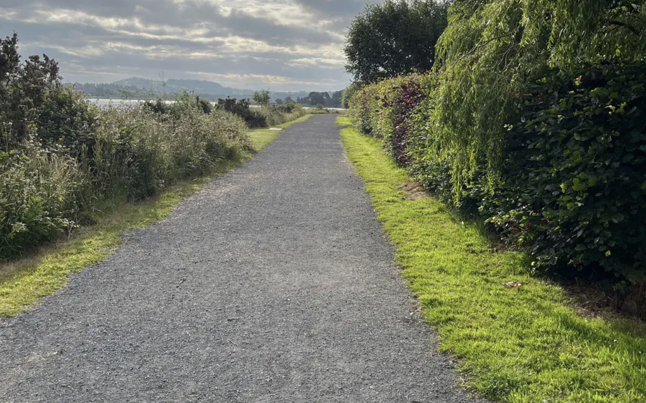
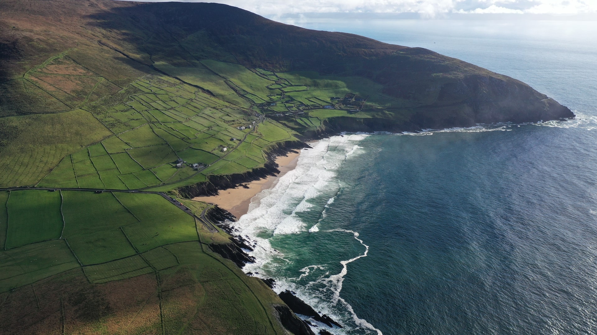
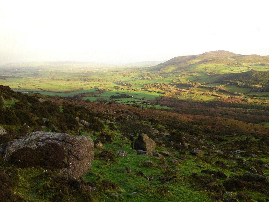
The Maypark Trail, also known as the River Suir Pathway, is a peaceful riverside walk located in Waterford City. Stretching for approximately 5 km out and back, the trail begins near the Glenville Estate and follows the banks of the River Suir, offering tranquil views and a relaxing natural setting. It’s an ideal spot for walking, jogging, or simply enjoying a quiet escape from the city.
This easy-level trail is mostly paved but can include some muddy or uneven sections, particularly between Maypark Village and King’s Channel, so comfortable footwear is recommended. Along the way, walkers can enjoy a rich variety of flora and occasional glimpses of local wildlife. Less busy than the main Greenway, the Maypark Trail is a favourite among locals seeking a more low-key nature experience.
Although mostly accessible, some areas may be challenging for strollers or those with limited mobility due to steeper inclines or less maintained paths. There are ongoing discussions about improving and extending the trail in future to better connect with the city and surrounding routes.
Perfect for a short, scenic outing, the Maypark Trail offers a refreshing alternative to the busier cycling routes and is a hidden gem for those who want to slow down and savour the beauty of Waterford’s riverside landscape.
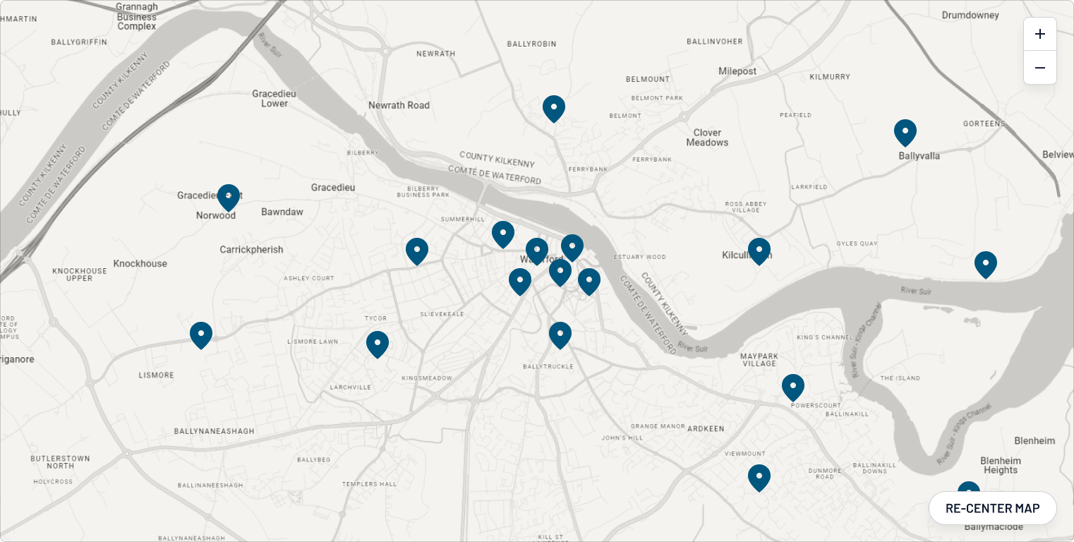
Map
Overview
Explore 5 km of serenity just outside the city centre
Waterford City
Location
type
Grade
distance

