Rathgormack Walks
ALWAYS exercise caution and take all safety measures in the hills.
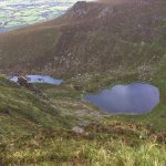
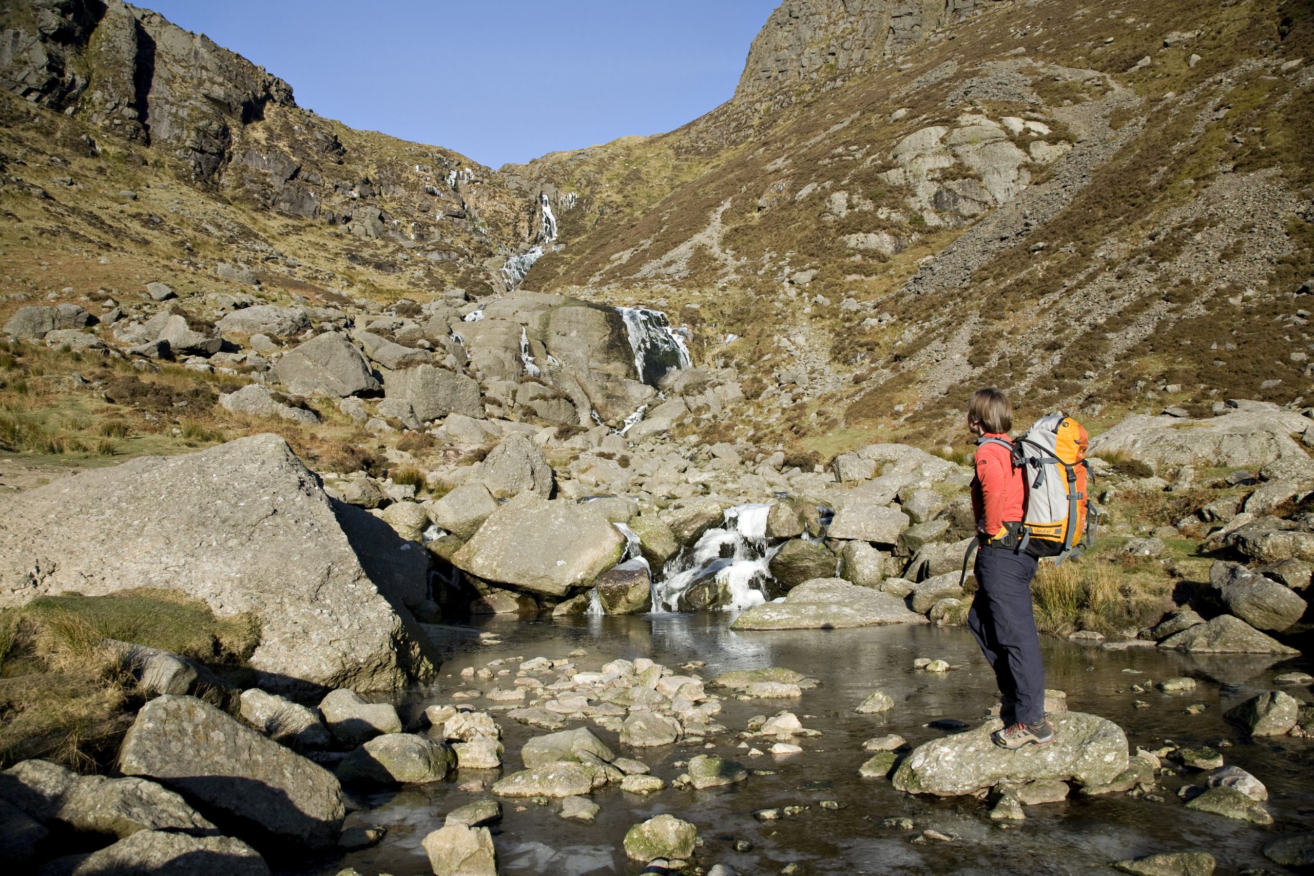
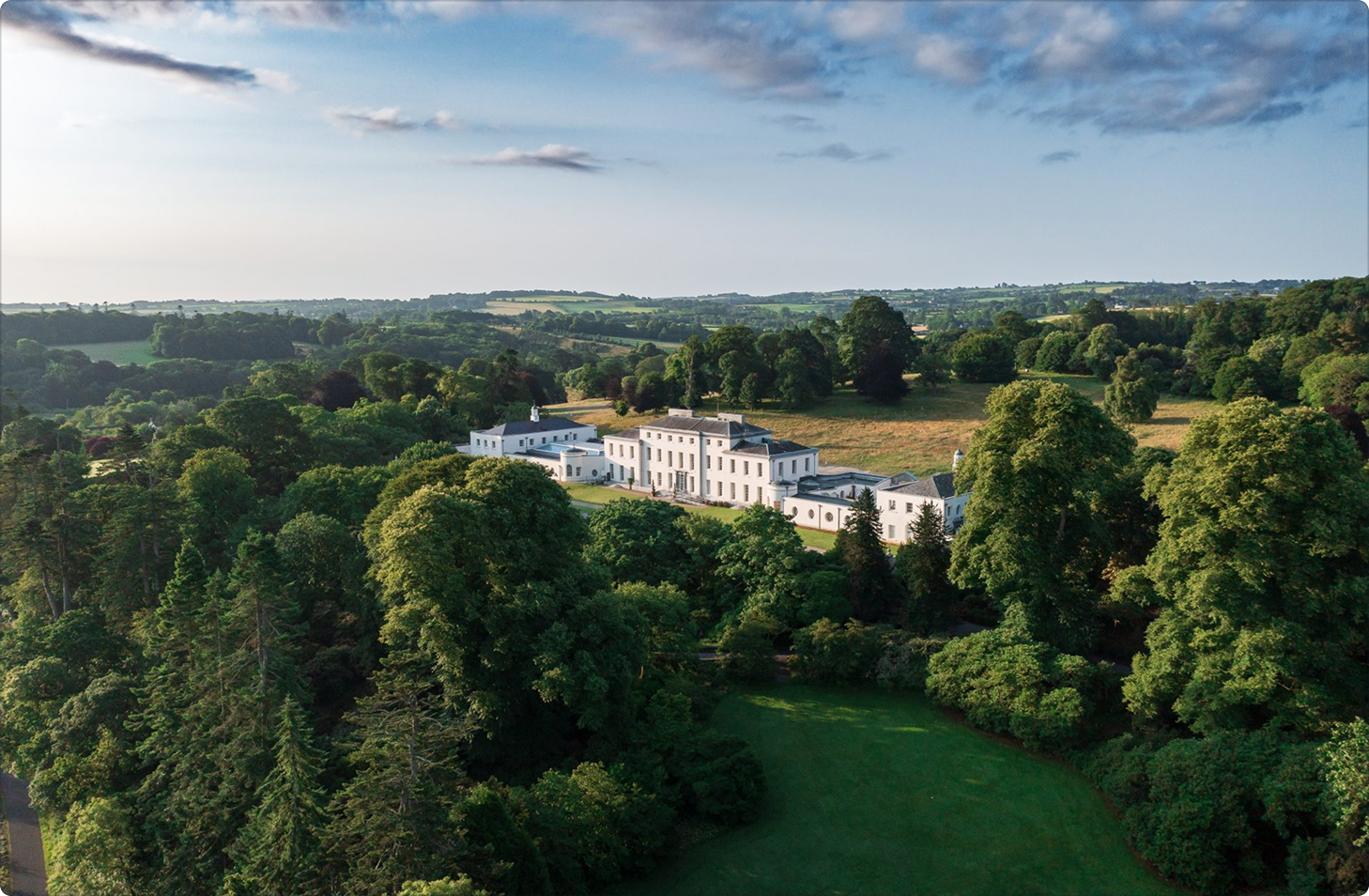
Rathgormack Walks are a series of way marked road, woodland and mountain walks in this wonderfully scenic part of north Co. Waterford. The village of Rathgormack can act as your base for all of your walks in this area. Rathgormack Hiking and Community Centre provides hostel accommodation for those visiting the area. There is also a shop and pub in the village. It is possible to visit four of the Comeraghs 13 impressive coums all within 7kms of the village of Rathgormack itself including Lough Mohra, Coumduala, The Boolas and Crotty’s Lake.
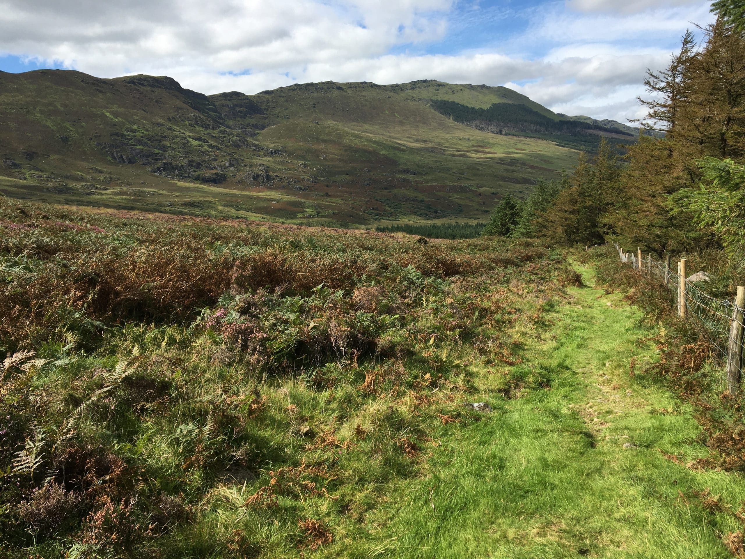
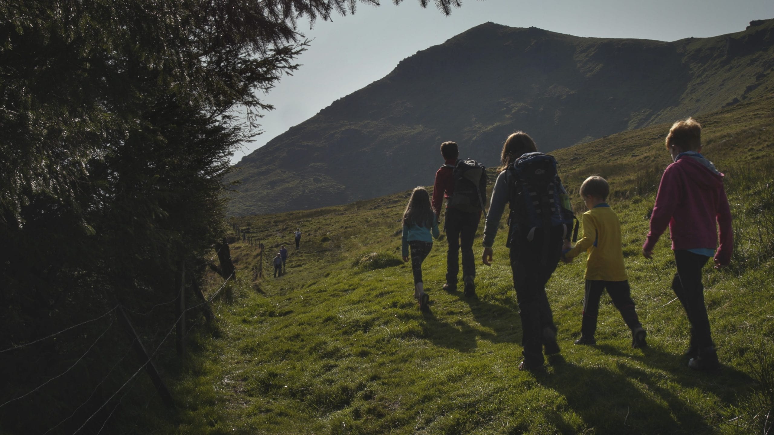
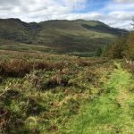
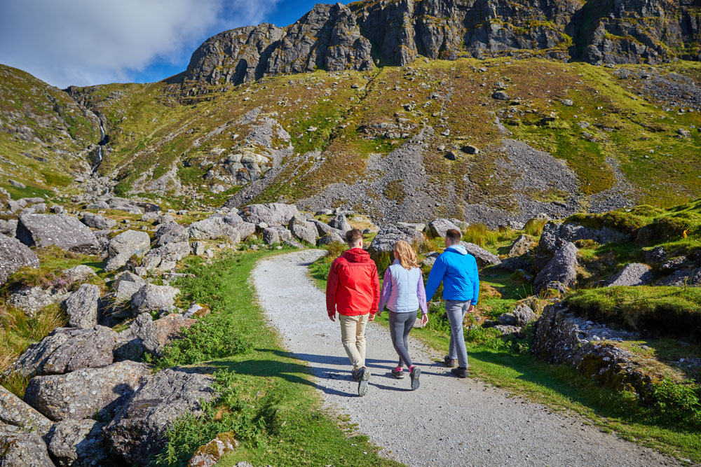
For those who relish somewhat of a mountain challenge then the trails which start in the parking area in the townland of Curraheen are for you. The Boolas Loop, a Failte Ireland National Looped Walk, is the ‘big one’ here at over 9kms in length, with astounding views of the surrounding countryside over testing mountain terrain. Walkers can also choose The Gap linear walk from this start point and trace the steps of our ancestors along the Bóthar na Sochraide funerary path, which is the gateway to the Nire Valley.
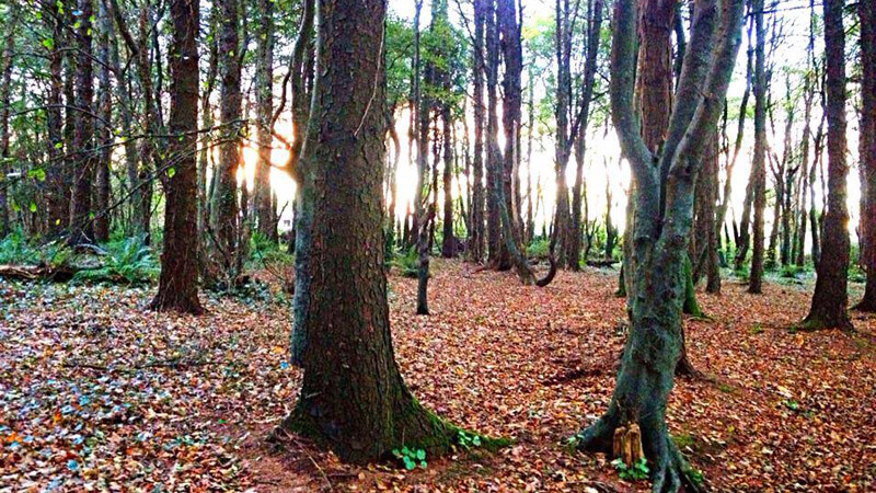
For those looking for a mix of woodland and mountain terrain then you can start your walk from Glenpatrick Wood parking area. From here you can choose from the 7km Lough Mohra Loop or 3.5km Rathbeag Loop. Breathtaking views of the Comeraghs and surrounding countryside are guaranteed. Then for those choosing to start their walk at Glenpatrick Bridge Picnic Area the 8km Glenpatrick Bridge Loop provides a wonderful varied mix of forestry road and a trail section along a nearly 18thcentury military road in the shadow of Knockanaffrin.
How to Get There
Curraheen Trailhead: From the village of Rathgormack on the R678 follow the R678 in the direction of Clonmel (west) for 3km to Clondonnell Cross. Turn left here and drive for a further 3kmto a sharp right angled bend. Parking is available in an old farmyard 50 metres up the narrow lane.
Glenpatrick Woods Trailhead: From the village of Rathgormack follow the R678 in the direction of Clonmel. After a 5kmstraight stretch, the road swings left and reaches a downhill roadway on your right. Shortly afterwards the road turns right at a 4-roadway junction–turn left onto a forestry roadway. Travel for 500m to reach the trailhead.
Glenpatrick Bridge Picnic Area: From the village of Rathgormack follow the R678 in the direction of Clonmel. After a 5km straight stretch, the road swings left and reaches a downhill roadway on your right. Turn right and travel for 500mto reach a large car parking area on your right.
Did You Know
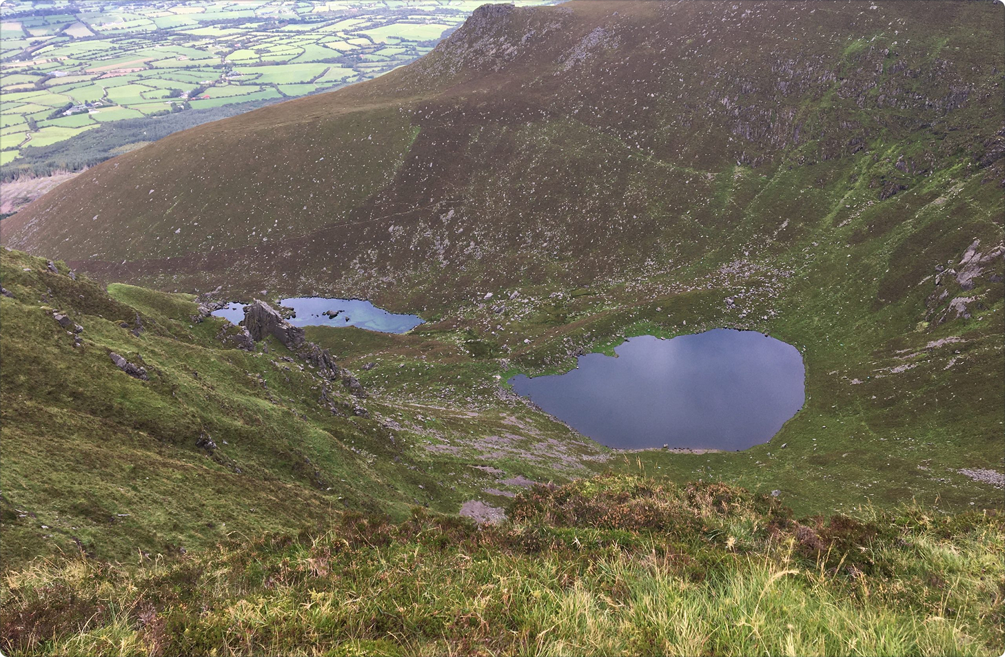
- The Boolas Loop Walk links two of the most spectacular glacial features in the Comeraghs. At 1km in length, Coum Iarthar is the longest coum and houses the highest lake in the mountains and is known locally as the Boolas. The Gap is the highest mountain pass in County Waterford and has linked Rathgormack and the Nire Valley for centuries.
- Hollywood legend, Stanley Kubrick filmed some of the outdoor scenes for the 1976 Academy Award-winning film, Barry Lyndon (starring Ryan O’Neal and Leonard Rossiter) in the area around Carrigsheenagowna which is adjacent to the Lough Mohra, Rathbeag and Glenpatrick Bridge Loops.
- The local community have developed a series of on road looped walks around the village of Rathgormack and these are worth checking out on a visit to the area.
Walk details
Rathgormack Walks
639 KBTrail name
Glenpatrick Bridge Loop Walk
Lough Mohra/Rathbeag Loop Walks
Boolas Loop Walk
Grade
Moderate
Easy/moderate
Strenuous
Distance
8km
3.5km/7km
9km
Type
All loop walks
Estimated time
2hrs
1hr/2hrs
3.5hrs
Ascent
160metres
100/220metres
440metres
Terrain
Forestry road, green tracks and laneway
Forestry road, open mountain
Green laneways, hillside tracks, open mountain
Way marking
Green
Blue/red
Purple
Parking and trailhead
Glenpatrick Bridge Picnic Area
Glenpatrick Woods
Curraheen Trailhead
Trailhead grid ref/GPS
75, S 289 194
52.32597; -7.57684
75, S 285 180
52.31363; -7.58328
75, S 306 154
52.28994; -7.55152
Minimum gear
Trekking shoes, wet weather gear, fluid, phone
Website
www.rathgormack.com
Map
Experience overview
A series of way marked road, woodland and mountain walks in this wonderfully scenic part of north Co. Waterford. The village of Rathgormack can act as your base for all of your walks in this area.
Related experiences


Location
type
Grade
distance