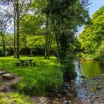


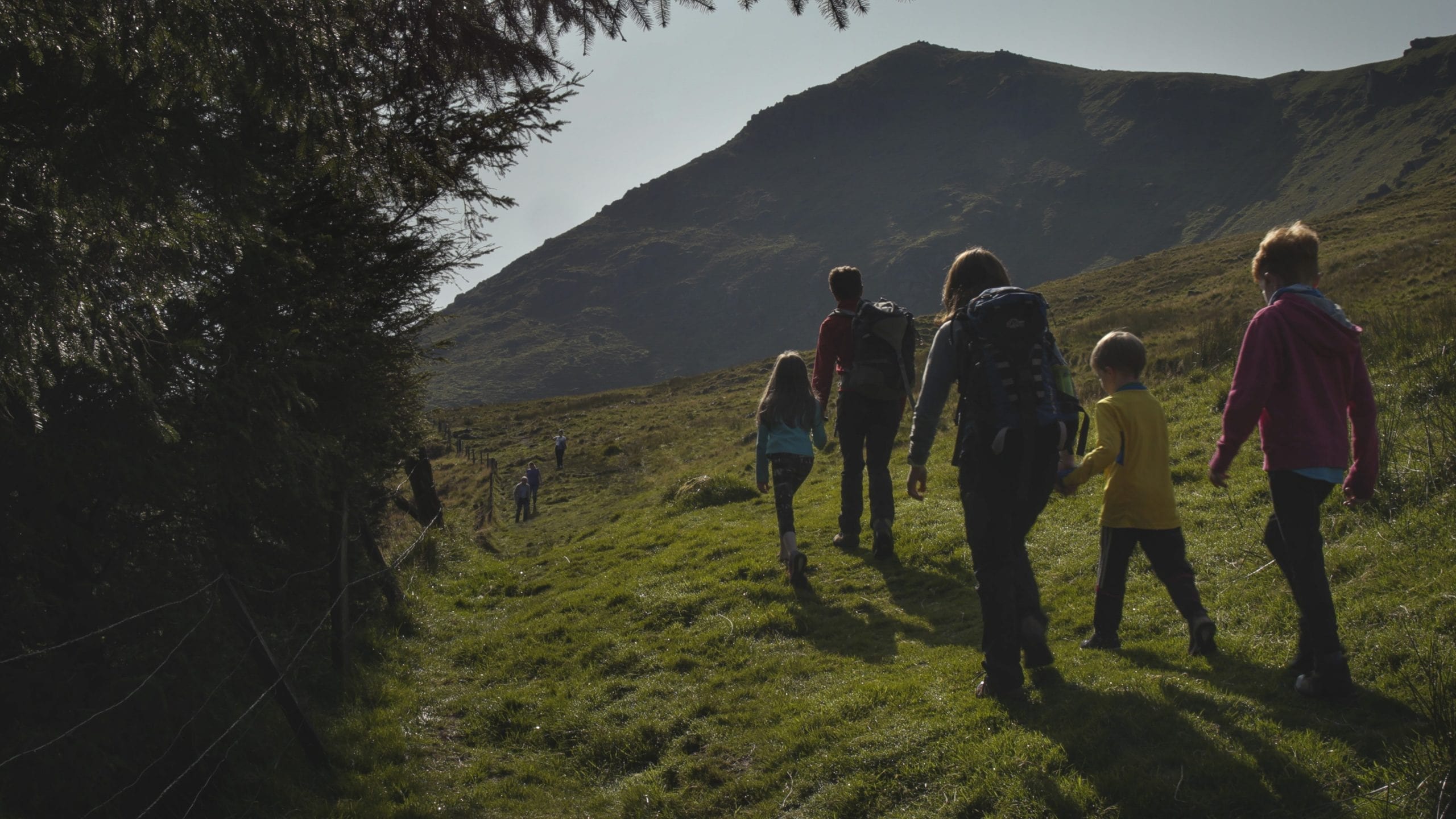
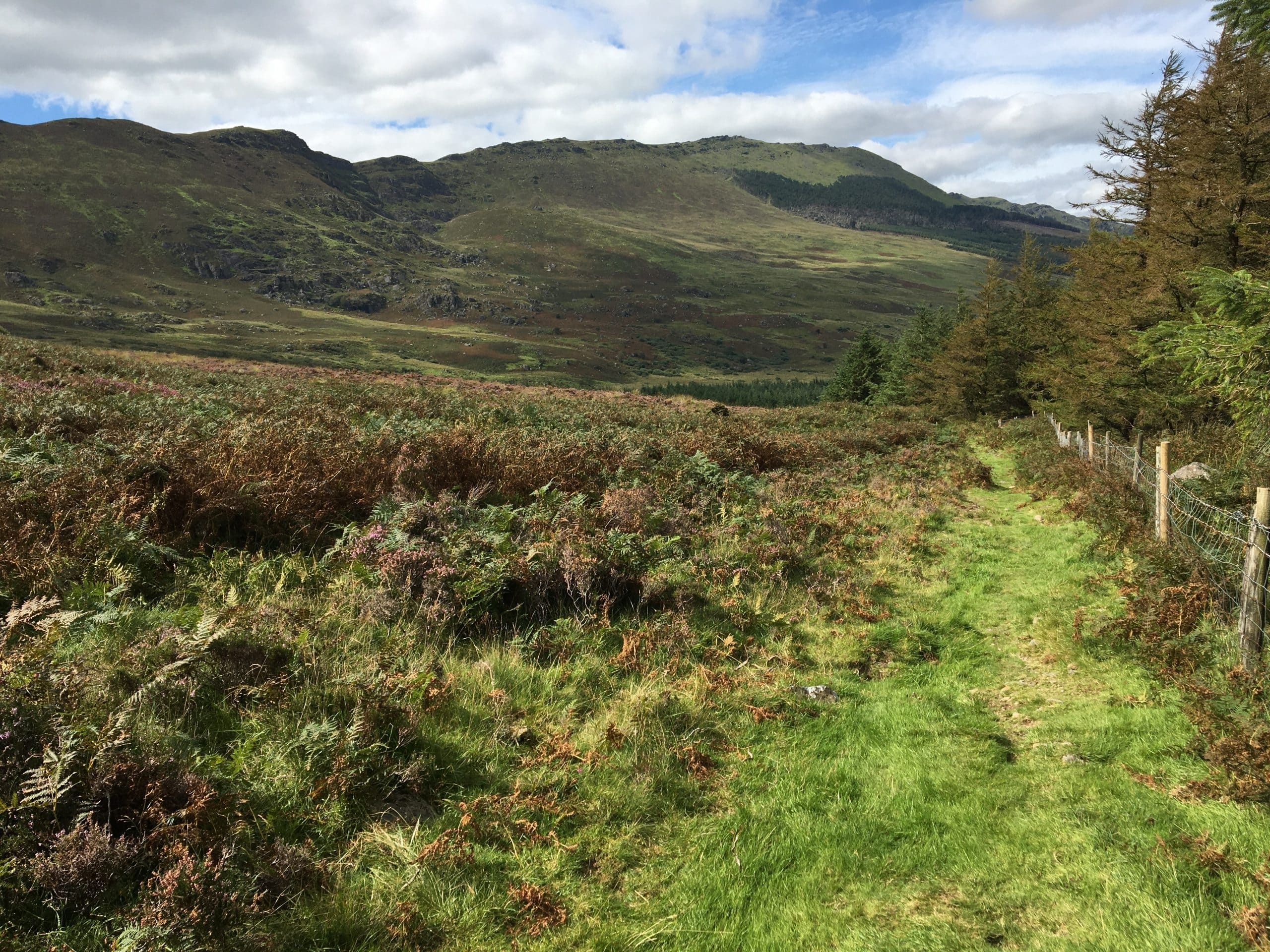
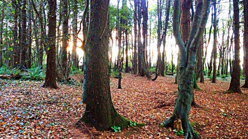

Nestled in a beautiful glen near Cappoquin, Glenshelane offers a variety of forest trails along the Glenshelane River, ranging from gentle strolls to more challenging hikes. Surrounded by lush conifer and broadleaf woodlands, walkers can enjoy peaceful riverside paths, forest roads, and scenic bridges; with four marked trails from 2km to 10.7km.
Glenshelane Wood Walk
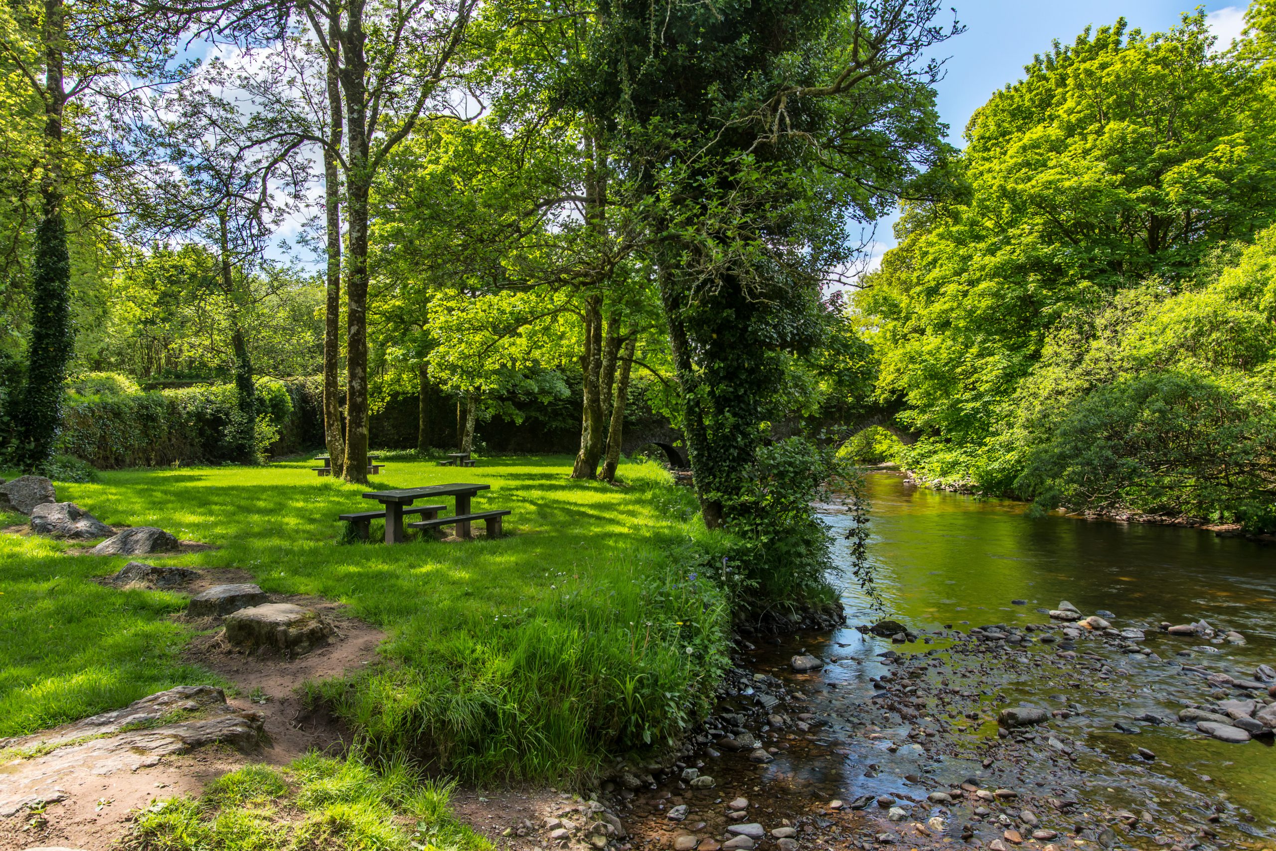
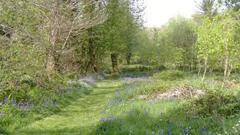
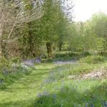
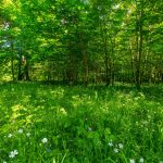
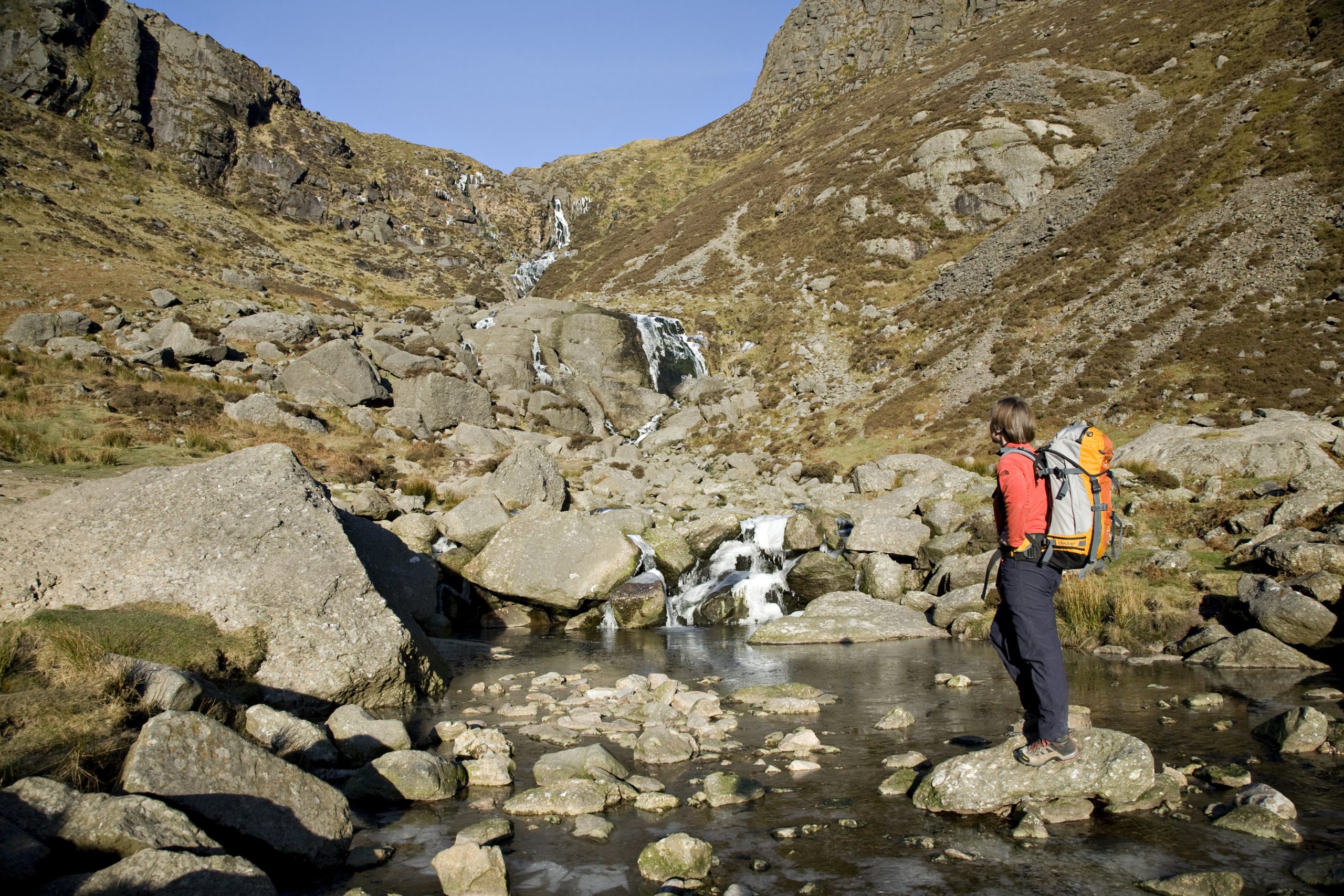
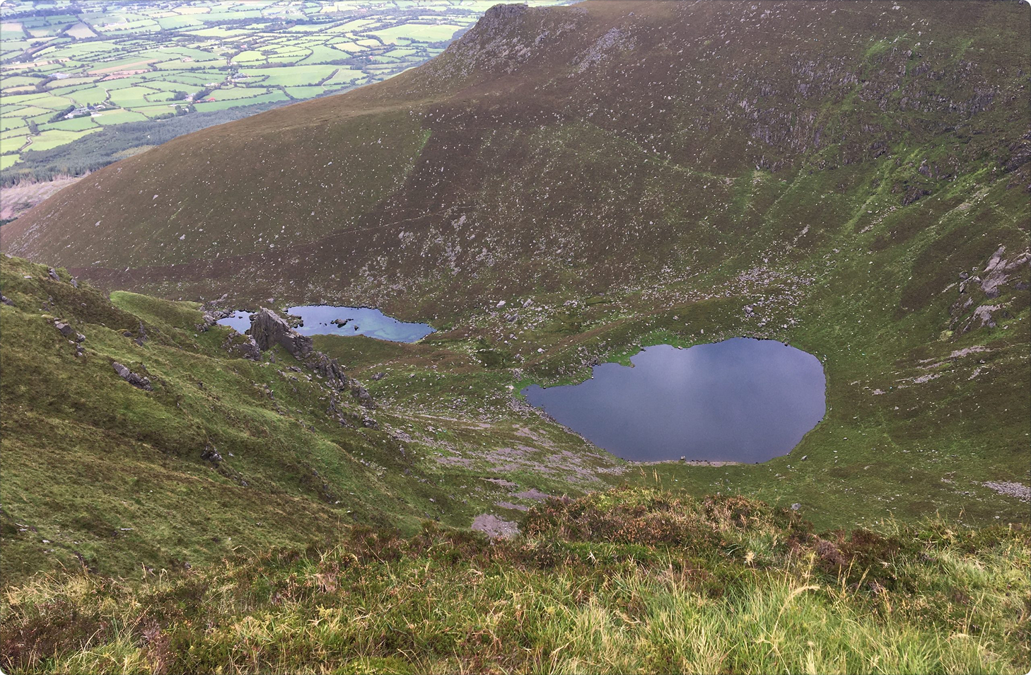
Glenshelane wood straddles two river glens, one a long glen through which the Glenshelane River flows, the other follows a section of where the Monavugga and Glenfalla Rivers converge a short distance upstream. All are tributaries of the mighty Blackwater. There is an extensive network of gently graded forest roads and trails. Walkers can expect to enjoy beautiful riverside walks through magnificent woodlands of conifers and broadleaves. All walks run beside the rivers and are serviced by five timber footbridges and one underpass under Lyre Bridge that is worth exploring. Birds such as dippers, herons and the grey wagtail frequent Glenshelane. Pine marten have also been spotted in the area.
How to Get There
From Cappoquin travel the Clogheen / Mellary Road(R669)for a distance of 1 km until you come to a grotto, veer right and the car park entrance is a short distance after crossing Bealick Bridge.
Did You Know
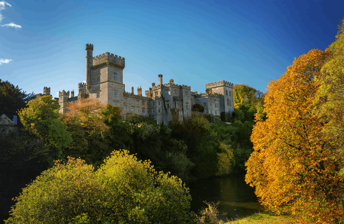
- Gleann Siothláin–the Glen of the Fairies, was owned by the Keane family of Cappoquin–Molly Keane, a well known novelist lived nearby in Bellville House.
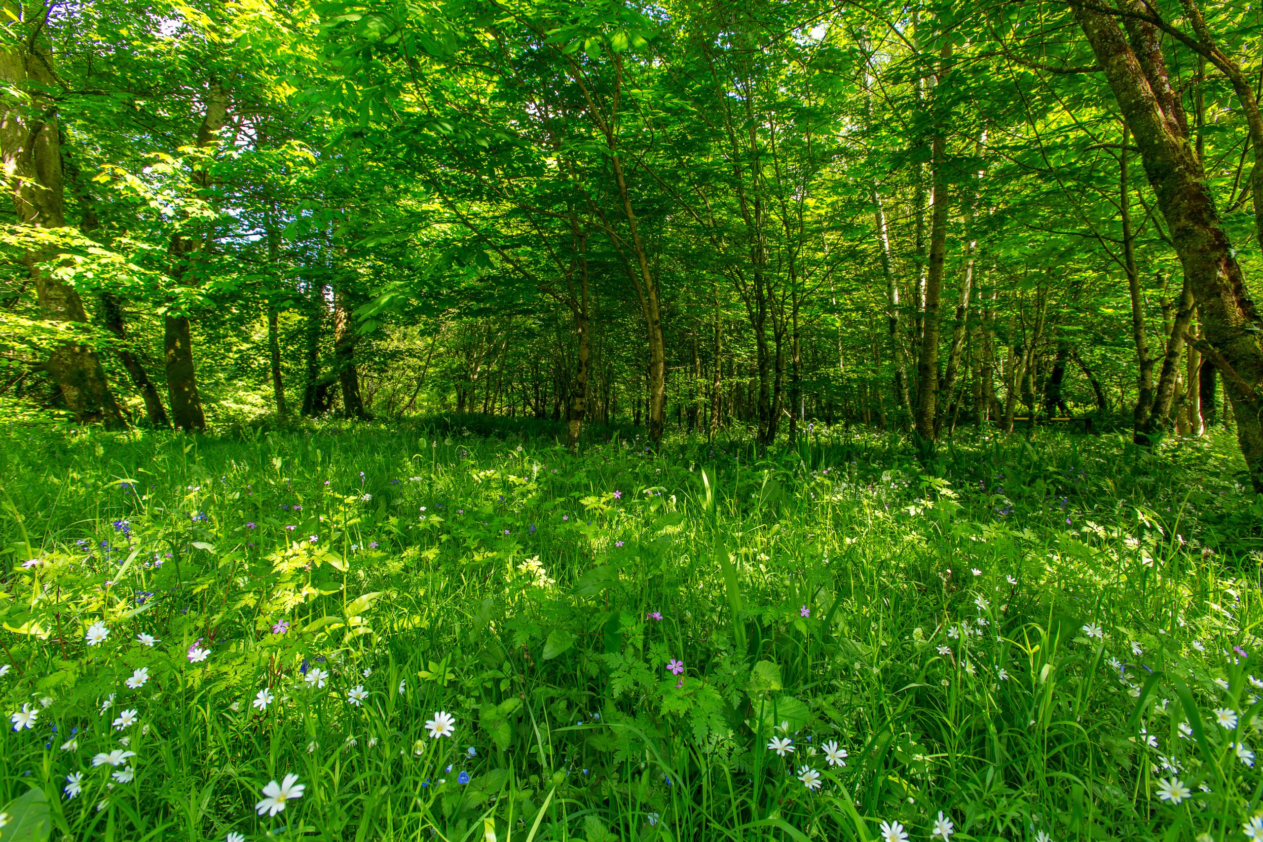
- Glenshelane is now a Coillte managed forest; tree Species to be seen on this site include Douglas fir, Sitka spruce, Norway spruce, Japanese larch, Lodge pole pine, Silver fir, Scots pine, Western Red cedar, Lawson cypress and broad leaves such as Spanish chestnut, beech, oak, ash, poplar, sycamore, birch and alder.
- The battle between the Earls of Ormonde and the Earls of Desmond was fought at Affane in 1565 1km from the picnic site.
- The Glenshelane River is an important salmon nursery stream for the River Blackwater; salmon can be seen fighting their way upstream to their spawning area north of the car park.
Walk details
Glenshelane Wood Walks
348.63 KBTrail name
Blue Walk
Green Walk
Red Walk
Melleray Walk
Grade
Easy
Moderate
Strenuous
Moderate
Distance
2 km
3.5 km
9.5 km (return)
5.5 km (return)
Type
Loop
Loop
Linear
Linear
Estimated time
45 minutes
1 hour, 15 minutes
3 hours, 15 minutes
2 hours
Terrain
Forestry roads, woodland tracks
Way marking
Blue arrows
Green arrows
Red arrows
Orange arrows
Parking and trailhead
Glenshelane Woods car park
Trailhead grid ref/GPS
X 119 993; 52.14656/7.82640
Nearest town/village
Cappoquin
Minimum gear
Trekking shoes/hiking boots, rain gear, fluid, snacks, phone
Website
coillte.ie
Map
Overview
Nestled in a beautiful glen near Cappoquin, Glenshelane offers a variety of forest trails along the Glenshelane River, ranging from gentle strolls to more challenging hikes. Surrounded by lush conifer and broadleaf woodlands, walkers can enjoy peaceful riverside paths, forest roads, and scenic bridges; with four marked trails from 2km to 10.7km.
Cappoquin
Related experiences
Location
type
Grade
distance