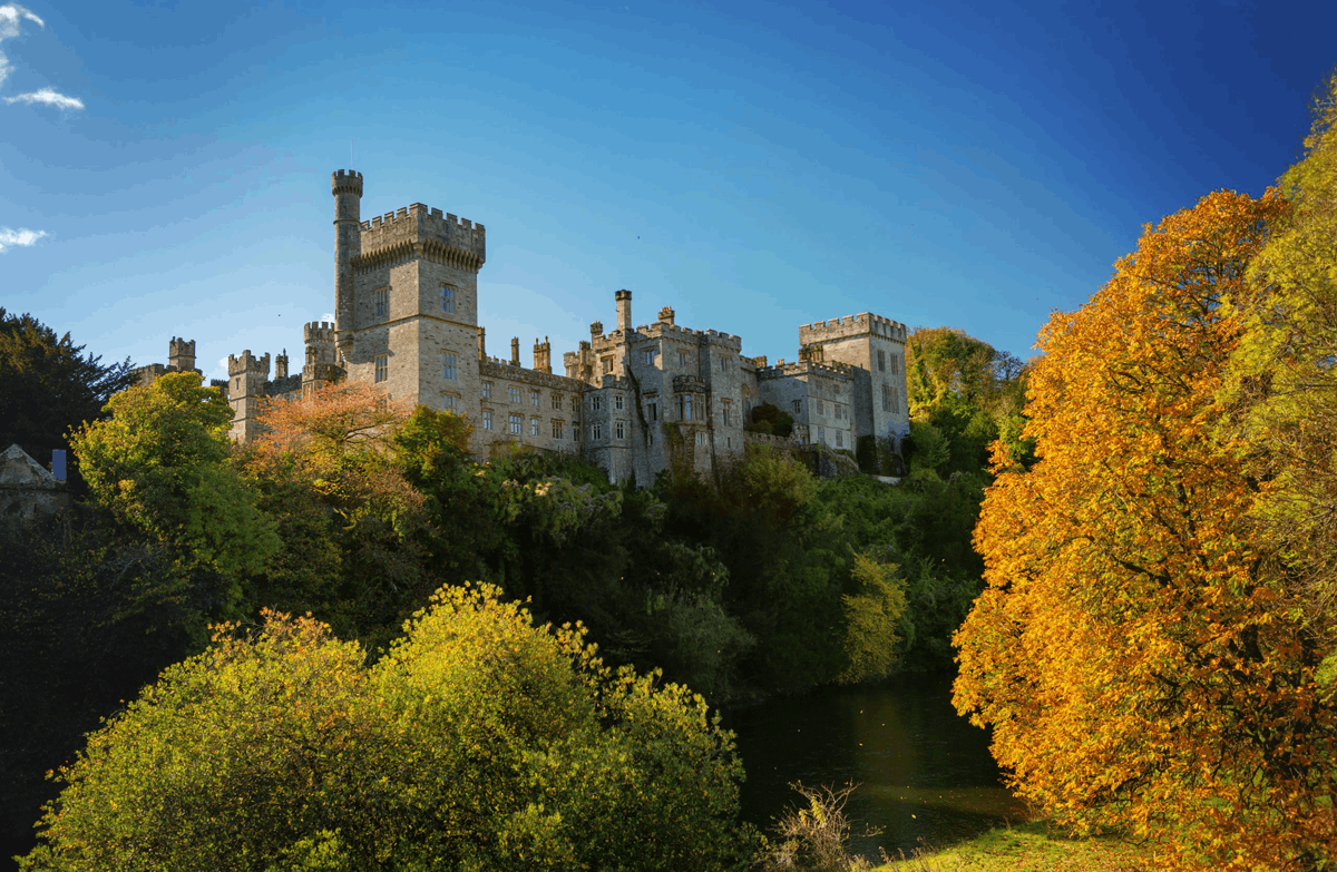
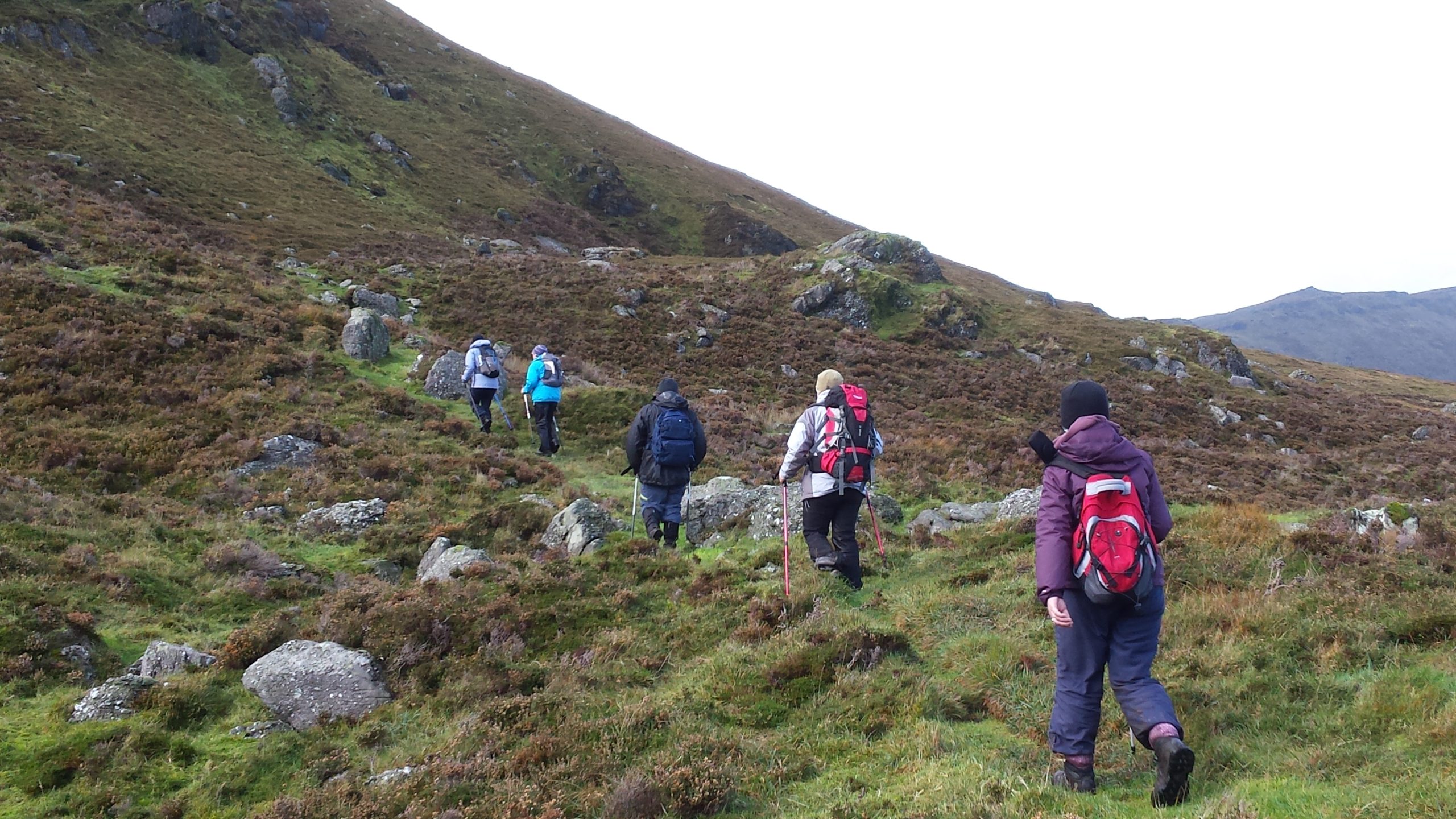
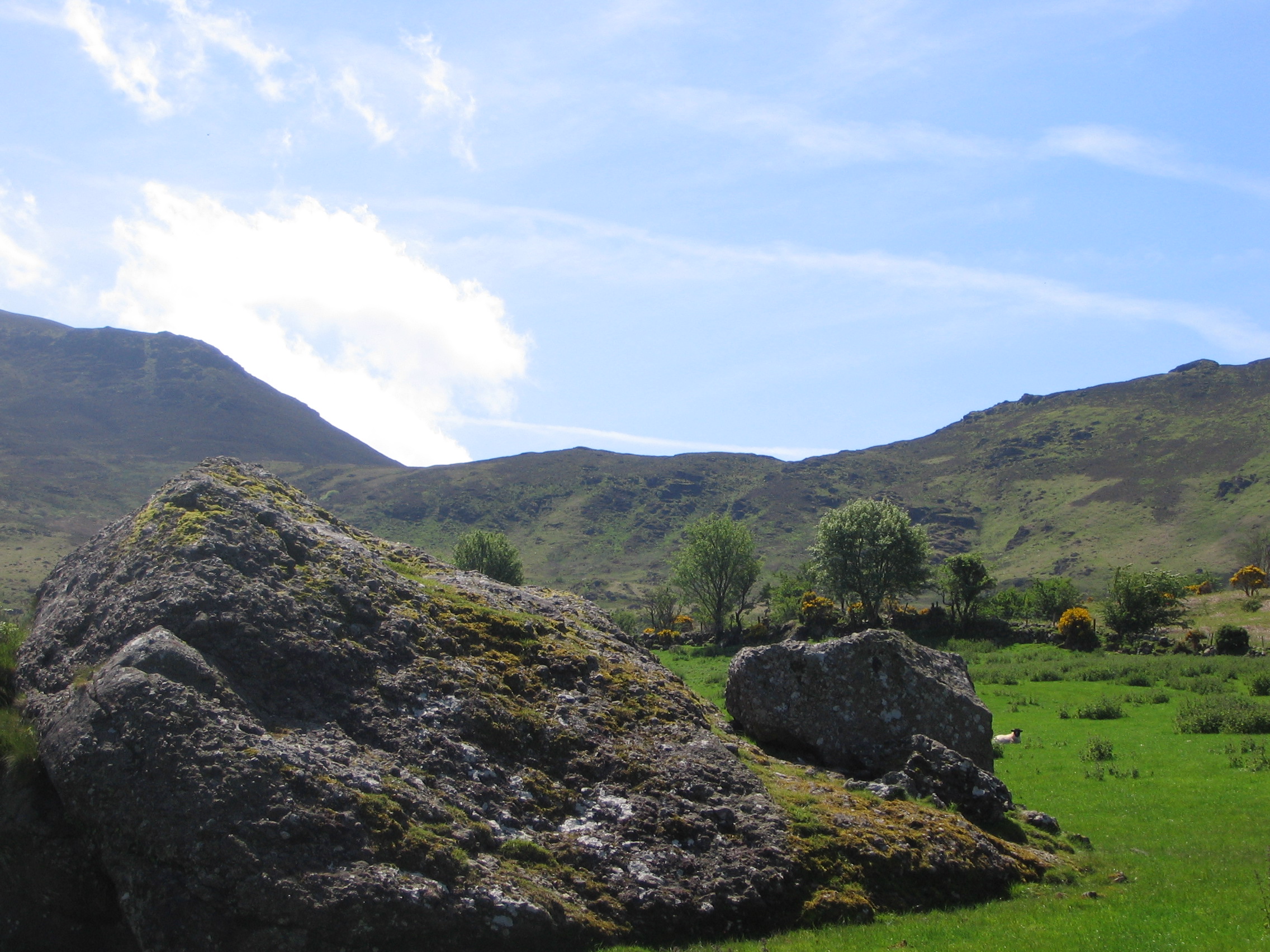
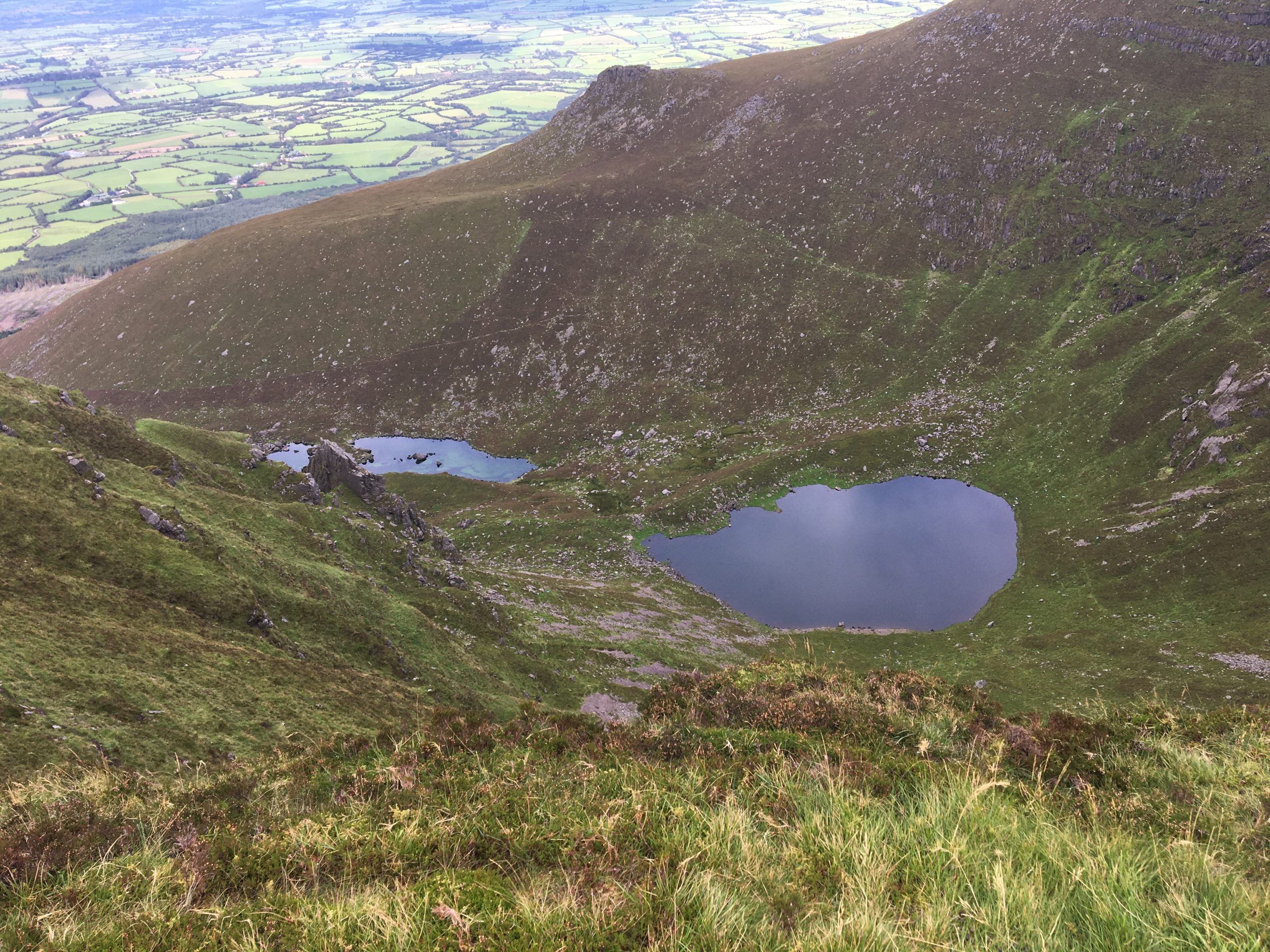
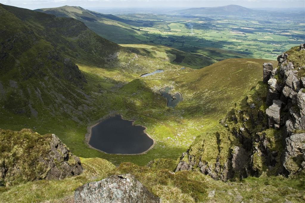
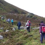
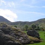
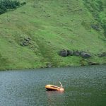
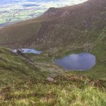
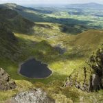


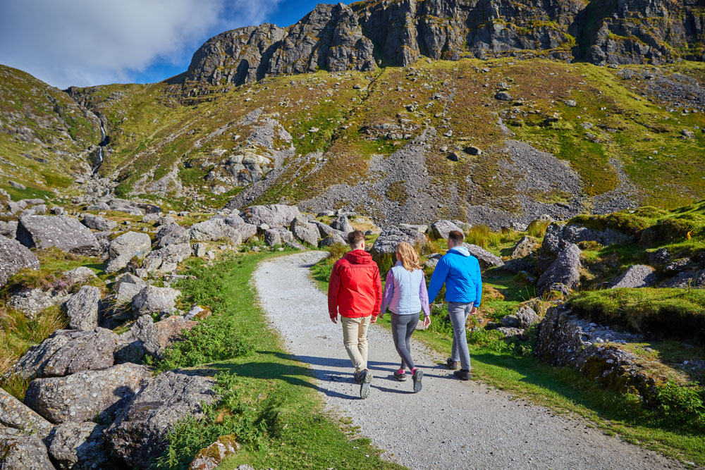
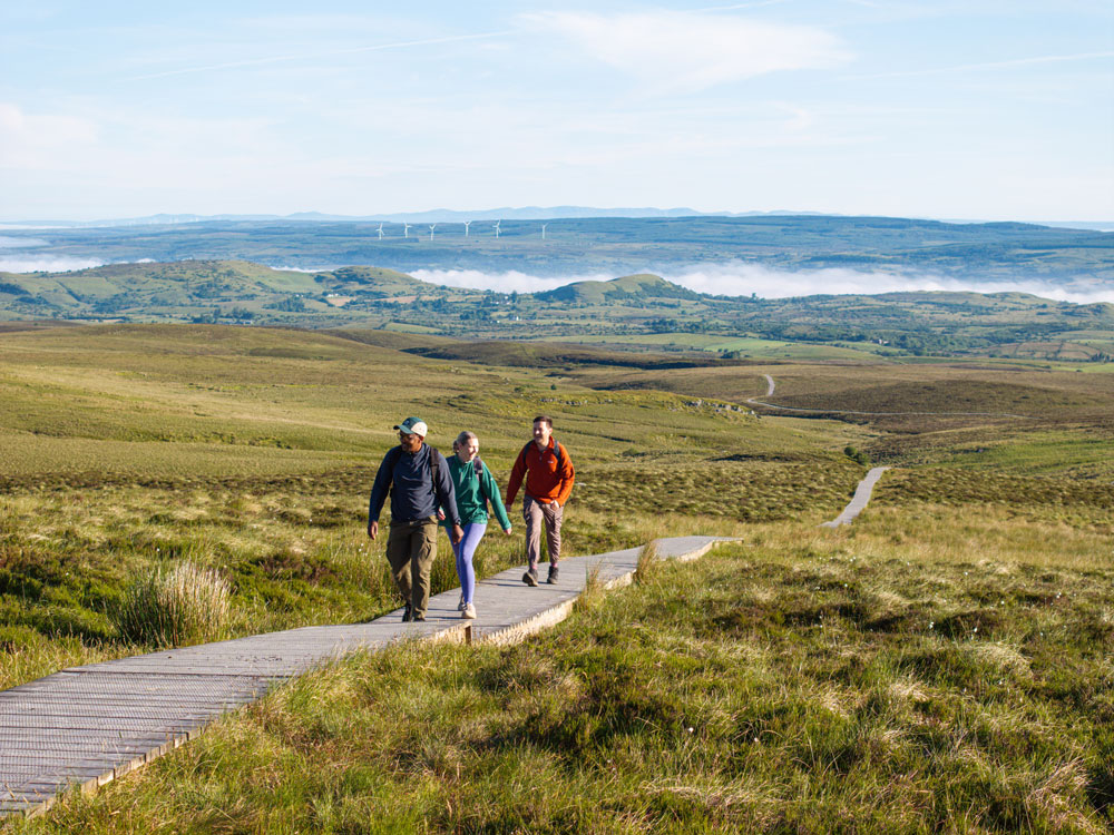
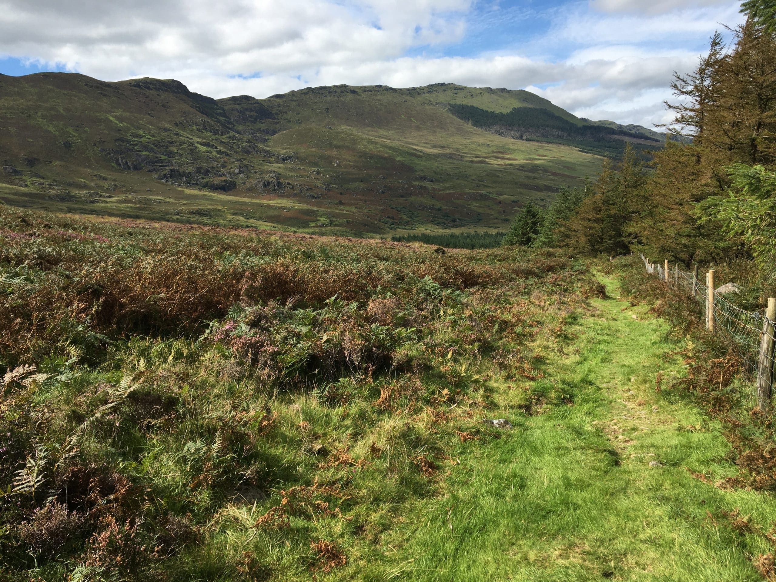
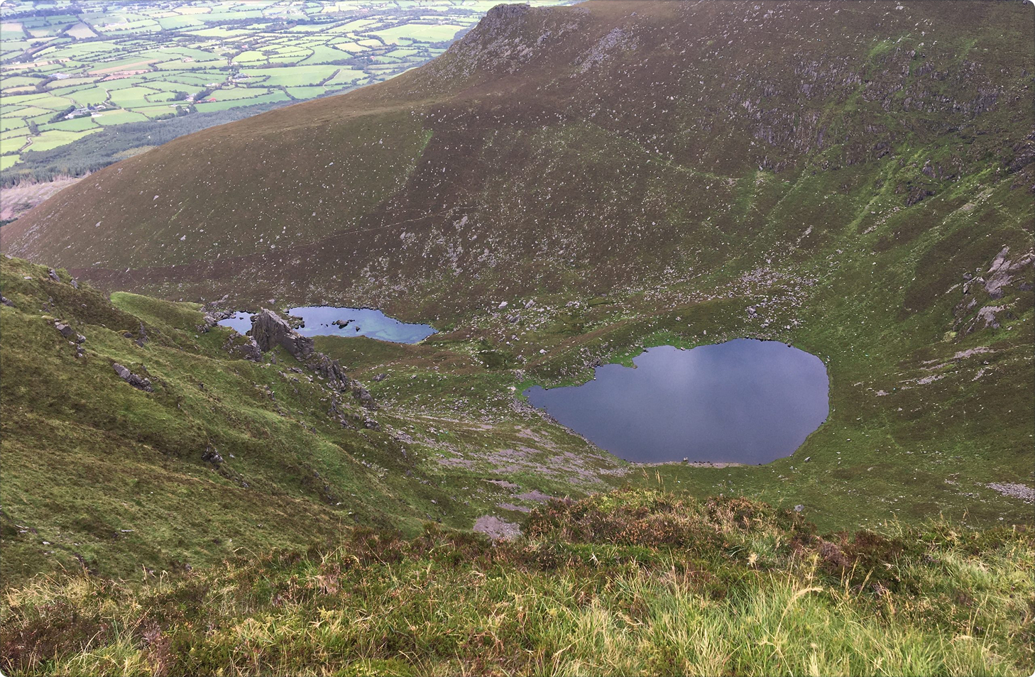

This challenging 9km loop links two stunning glacial features of the Comeraghs, including Coum Iarthar—home to the highest lake in the range. Known as the Boolas, these four ribbon lakes sit in a remote, dramatic coum. Ideal for experienced walkers, this upland trail offers breathtaking scenery and a true mountain escape. Trailhead: Curraheen, near Rathgormack.
Boolas Loop Walk
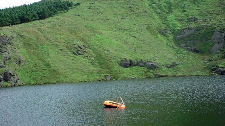
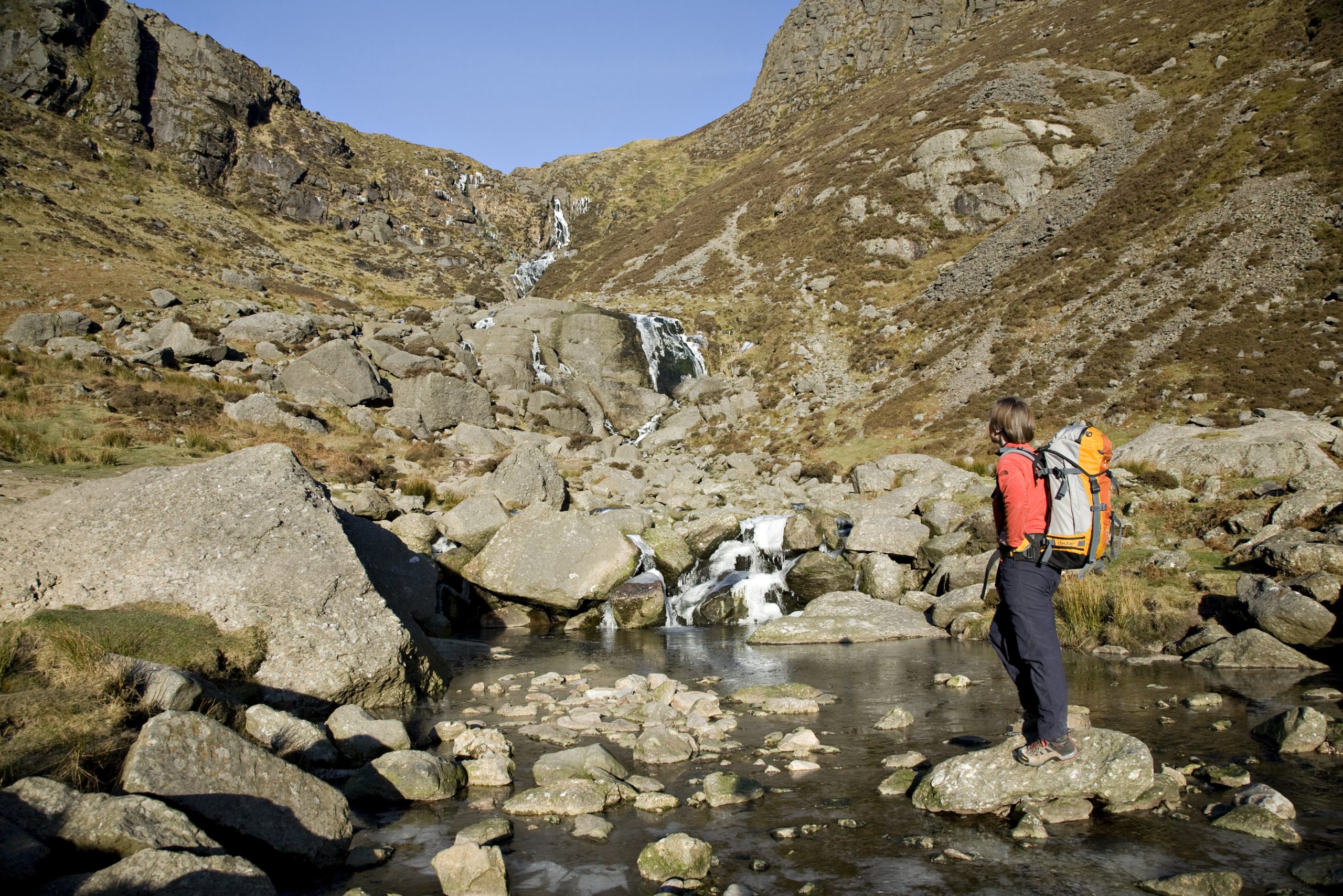
This interesting walk links two of the most spectacular glacial features in the Comeraghs. At 1km in length, Coum Iarthar is the longest coum and houses the highest lake in the mountains and is known locally as the Boolas. A ‘buaile’ in old Irish meant a summer herding place, usually in the hills. The term ‘Boolas’ today refers to four ribbon lakes in this beautiful coum.
Directions From the village of Rathgormack on the R678 (Distance from Clonmel: 19km, Waterford: 40km, Carrick on Suir: 10km, Dungarvan: 29km), follow the R678 in the direction of Clonmel (west) for 3km to Clondonnell Cross. Turn left here and drive for a further 3km to a sharp right angled bend. Parking is available in an old farmyard 50 metres up the narrow lane.
Did You Know
• The Boolas Loop Walk links two of the most spectacular glacial features in the Comeraghs. At 1km in length, Coum Iarthar is the longest coum and houses the highest lake in the mountains and is known locally as the Boolas. The Gap, which is the highest mountain pass in County Waterford has linked Rathgormack and the Nire Valley for centuries.
• Hollywood legend, Stanley Kubrick filmed some of the outdoor scenes for the 1976 Academy Award-winning film, Barry Lyndon (starring Ryan O’Neal and Leonard Rossiter) in the area around Carrigsheenagowna which is adjacent to the Lough Mohra, Rathbeag and Glenpatrick Bridge Loops.
• The local community have developed a series of on road looped walks around the village of Rathgormack and these are worth checking out on a visit to the area.
Walk details
Boolas-Loop-Rathgormack-Walks
1682.54 KBTrail name
Boolas Loop Walk
Distance
9 km
Duration
4.5 hours
Grade
Strenuous
Type
Loop
Terrain
Predominantly upland mountain terrain, hillside paths, green laneways
Ascent
44 metres
Trailhead grid ref/GPS
75 S 307 154; 52.2970499, -7.5541151
Minimum gear
Hiking boots, wind proof/water proof clothing, fluid, snack, phone
Trailhead
Farmyard in Curraheen
Nearest town/village
Rathgormack
Map
Overview
This challenging 9km loop links two stunning glacial features of the Comeraghs, including Coum Iarthar—home to the highest lake in the range. Known as the Boolas, these four ribbon lakes sit in a remote, dramatic coum. Ideal for experienced walkers, this upland trail offers breathtaking scenery and a true mountain escape. Trailhead: Curraheen, near Rathgormack.
Rathgormack
Related experiences
Location
type
Grade
distance