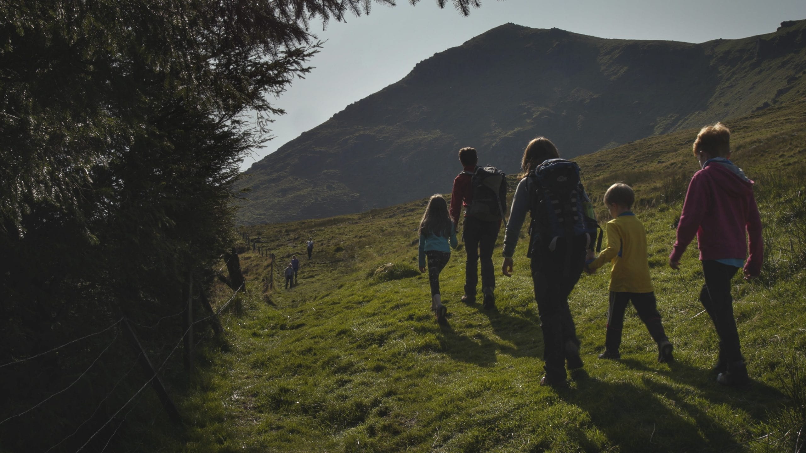
Mount Melleray Pilgrim Paths
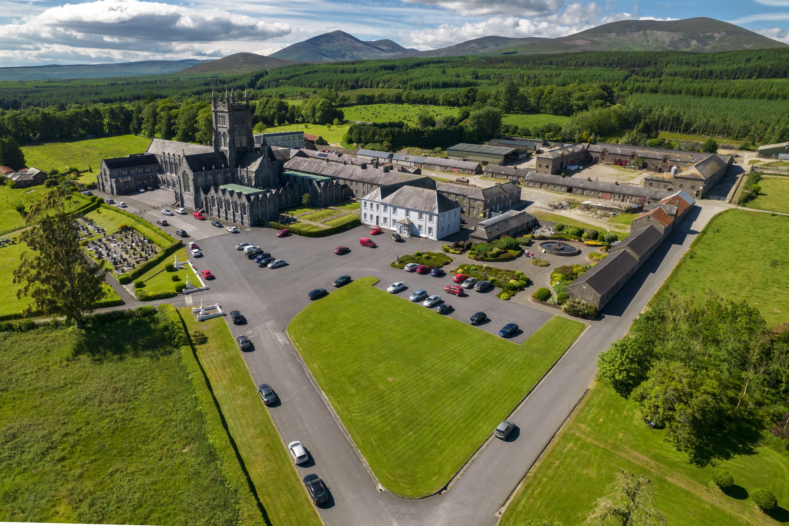

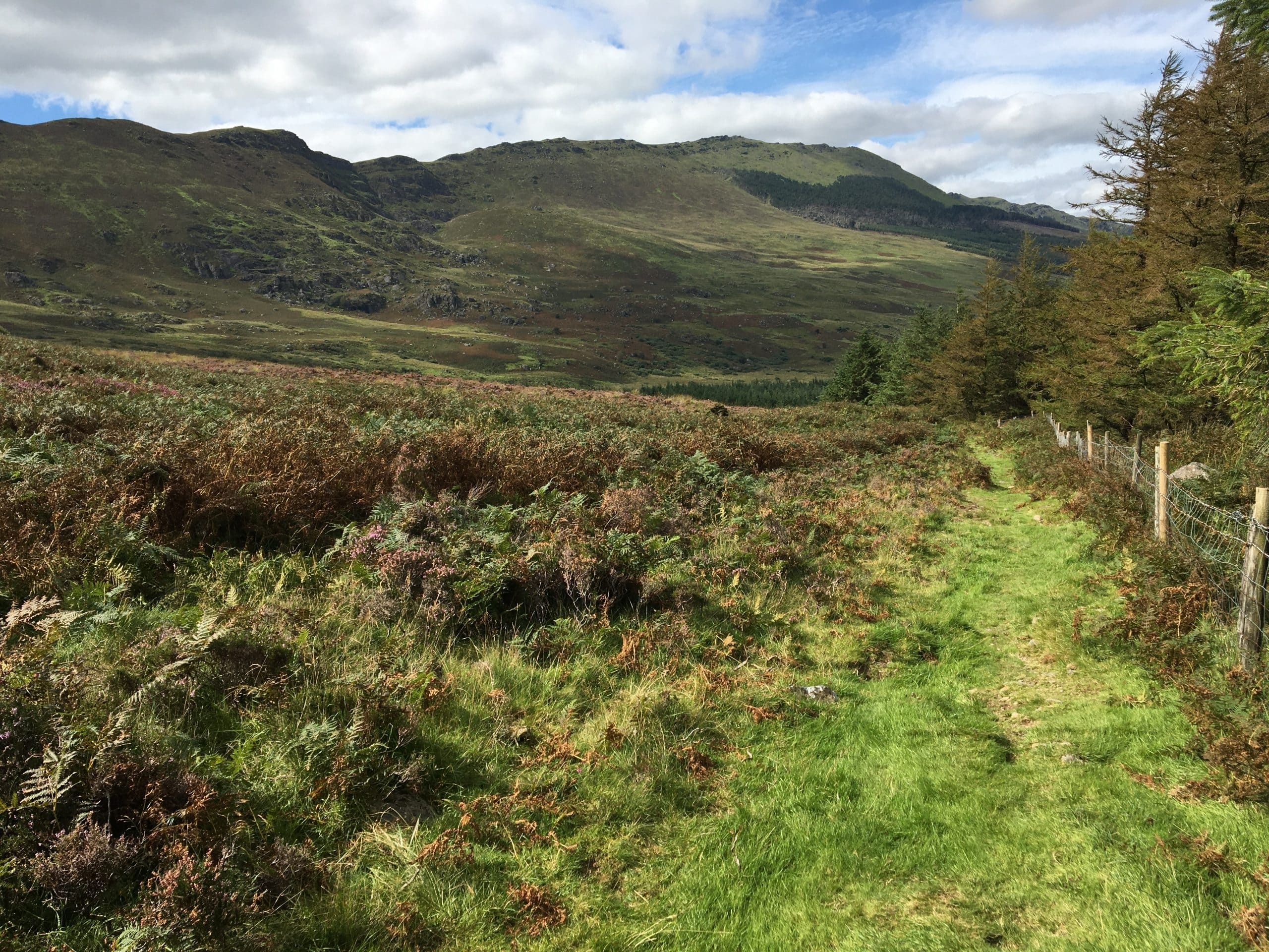
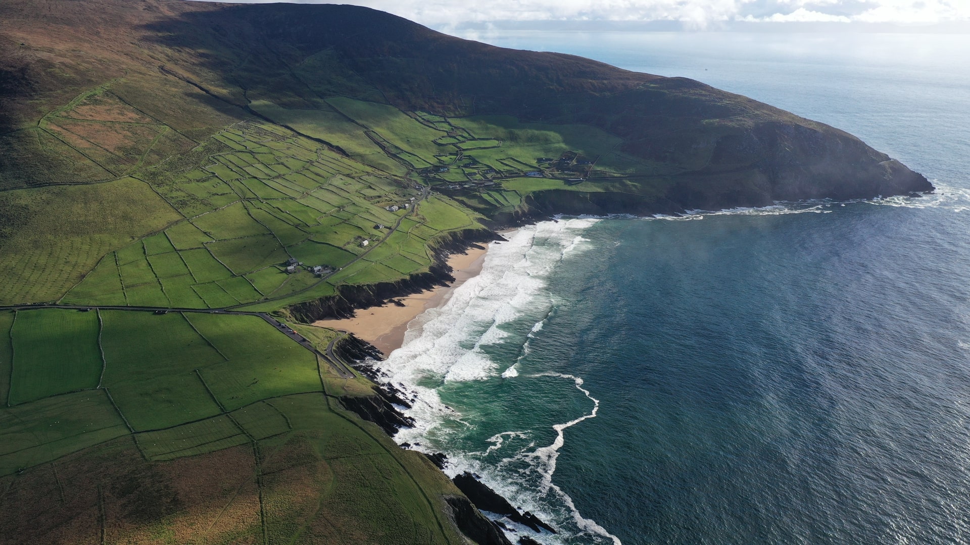
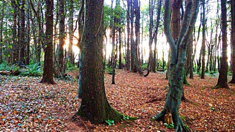
The pilgrim walking trails of Mount Melleray are steeped in tradition, collectively covering over 30kms of track in the lower hills of the Knockmealdown Mountains in scenic West Waterford. This beautiful area has been home to the Cistercian monks since they arrived here in 1832, having come from Melleray in Brittany, France. Today’s Pilgrim walking trails cross the same paths used by the monks since the 1800s with a mix of meandering boreens, forest trails and open mountain tracks.The pilgrim trails allow us to step back into the past but also to imagine the future through the timeless beauty of this landscape. Welcome to the magnificence of Mount Melleray.
How to get there
Mount Melleray Abbey Trailhead lies about 6.5kms north of Cappoquin along the R669. 4kms after Cappoquin, turn right at The Cat’s Bar onto the Melleray Road L-1024. After a further 2kms turn left shortly after The Pilgrims Rest in the direction of the Abbey itself.
Did You Know
- The Cistercian Order was founded in France in 1098 and follows the rule of St. Benedict. When the monks arrived in 1832 from the monastery of Melleray in Brittany, they brought Cistercian monastic life back to Ireland after an absence of 300 years.
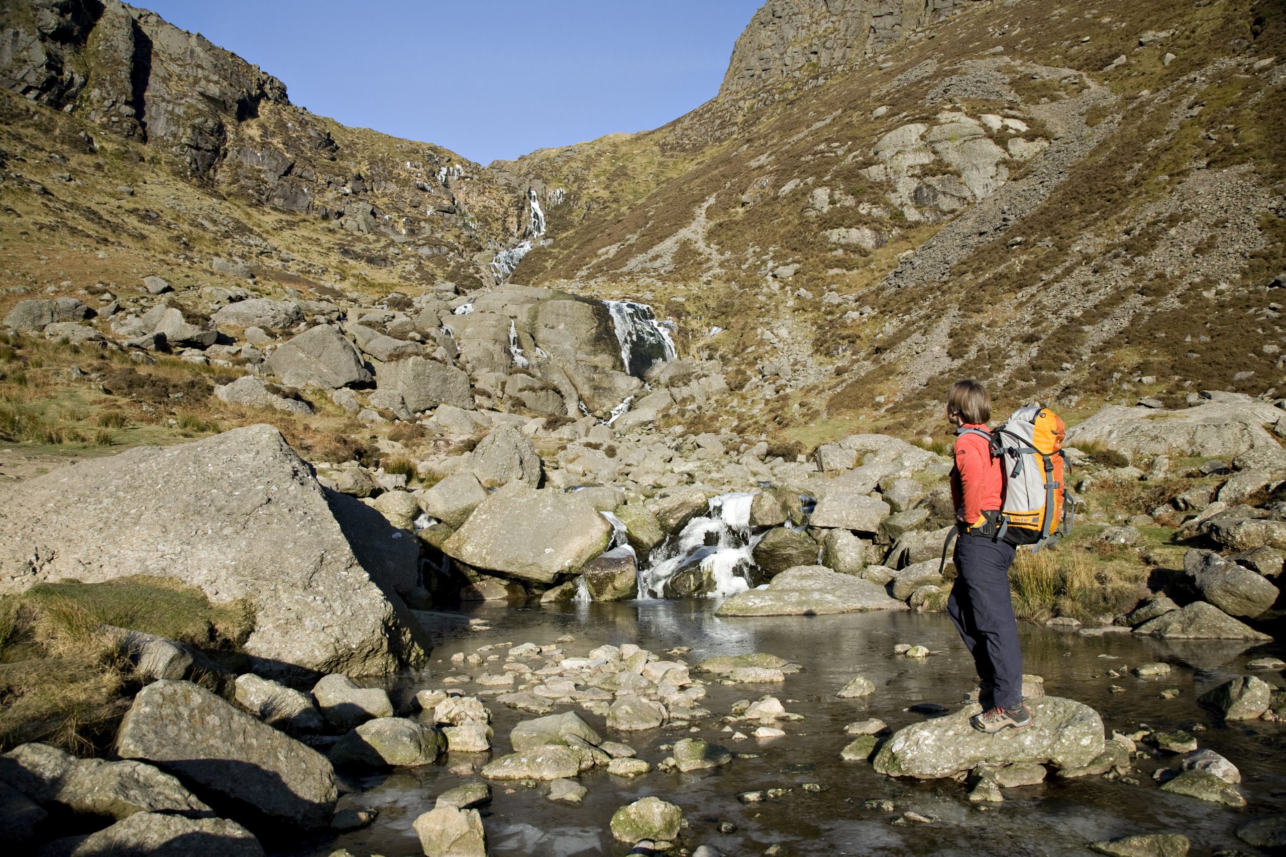
- The Source: In 1887, Brother Vincent Stapleton and a team of workmen successfully created a permanent water supply to the monastery by directing water over a 4km route from the Rough Glen river. It is an extraordinary feat of engineering.
- The Ponds: Built in 1898 the ponds were part of a system to filter and store water supplied by The Source. The system can still be seen today and consisted of a settling bed, screen house and several filter beds through which water was piped to the monastery.
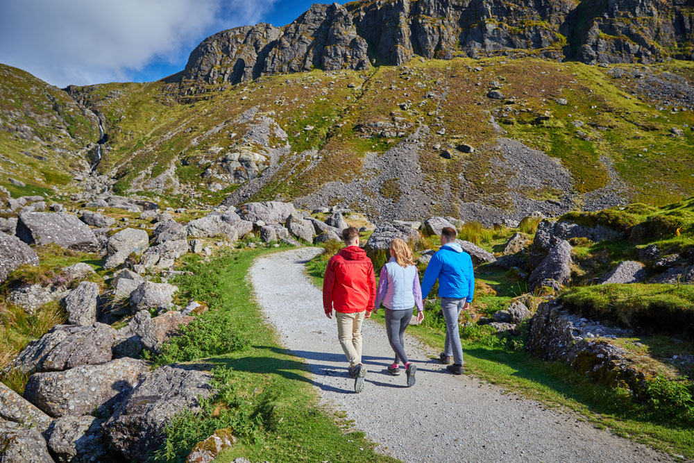
Walk details
Mount Melleray Map
6836.47 KBTrail name
The Well
The Grotto
The Cross
The Source
Byrne’s Bridge
Level
Easy
Easy
Moderate
Strenuous
Strenuous
Distance
2.3km
4.8km
3.7km
10.5km
Byrne’s Bridge
Type
Linear
Linear
Linear
Linear
Loop
Estimated time
45mins
1hr 30mins
1hr 15mins
3hr
4hr
Ascent
84m
107m
160m
200m
410m
Terrain
Grassy boreens, forest
trails, mountain paths,
local roads
Parking & trailhead
Mount Melleray Abbey
Way marking
Green arrows
Orange arrows
Black arrows
Purple arrows
Red arrows
Trail grid reference/GPS
74, S098 039/52.187178,
-7.8565952
Nearest town
Cappoquin
Minimum gear
Walking boots, wet
weather gear, water,
phone
Dogs allowed
No
Overview
Cappoquin
Related experiences


Location
type
Grade
distance