


The East Munster Way is a 70-75 km linear hiking trail in Ireland that travels through Co. Tipperary and into Co. Waterford. Considered a moderate route, it is typically completed over three days.
East Munster Way
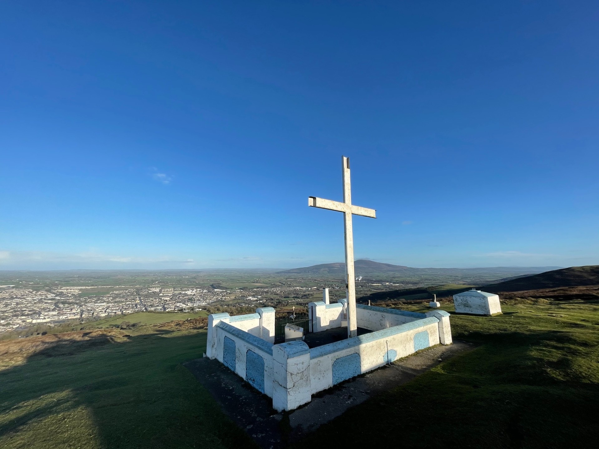
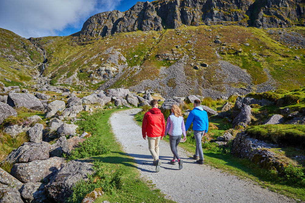
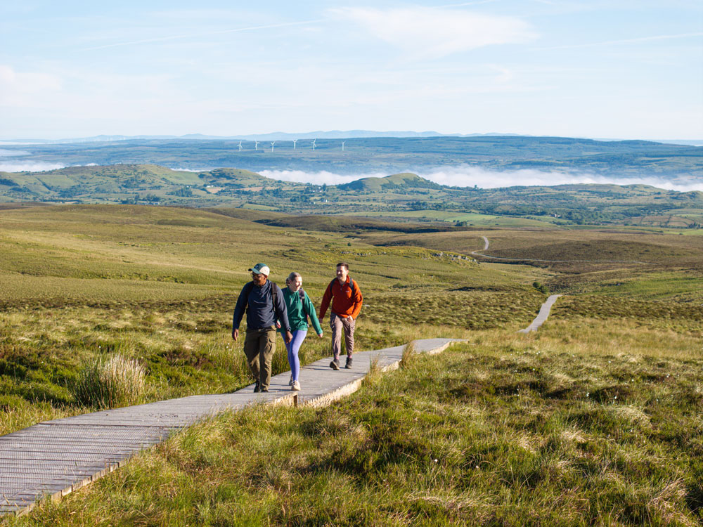
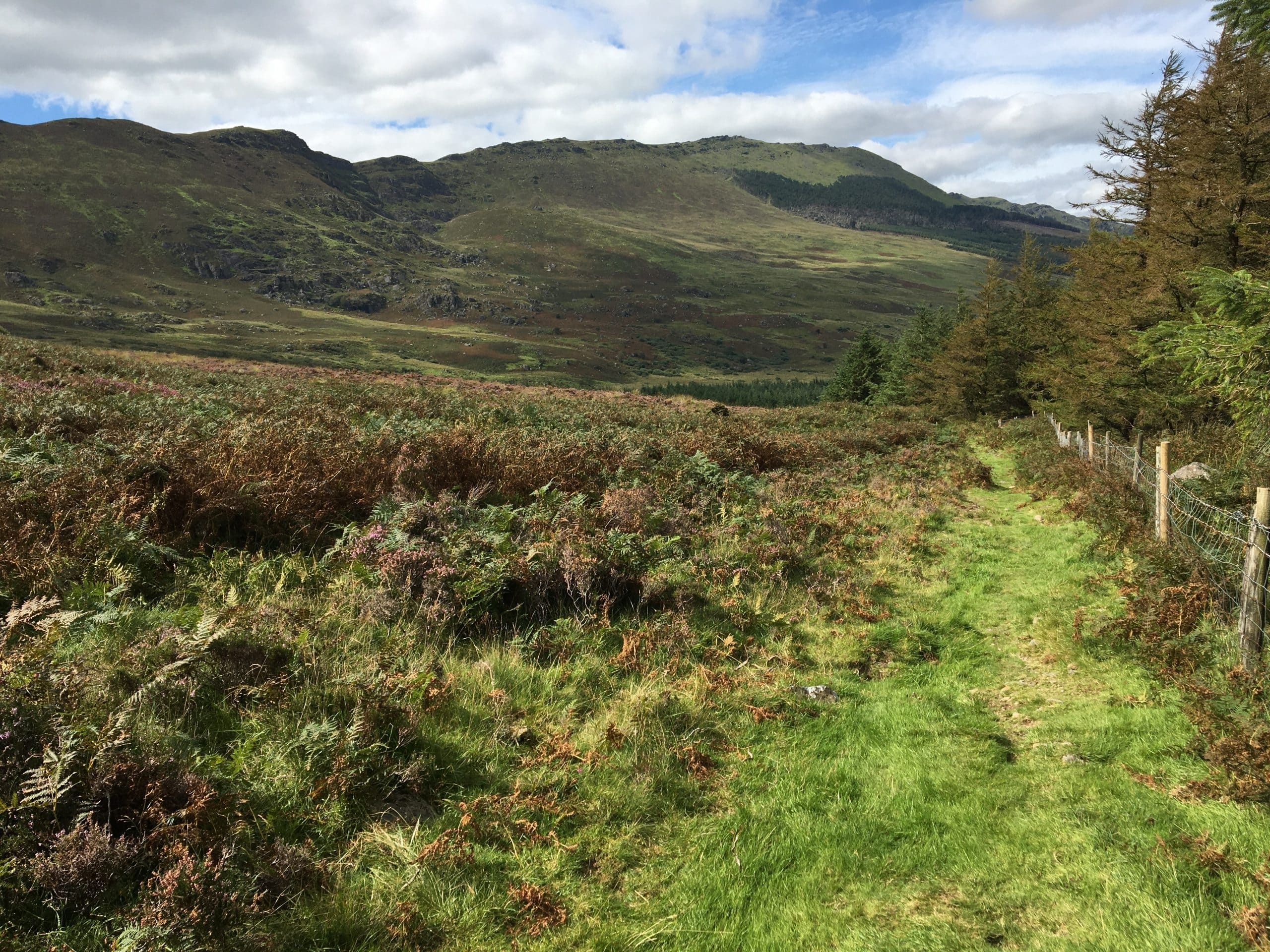
The East Munster Way is a75km National Way Marked Way which is located predominantly in Co. Tipperary but dips in and out of north Co. Waterford on a number of occasions with about 1/3 of its route set in the Déise County. Starting in the Tipperary town of Carrick-on-Suir, close to the Ormonde Castle the East Munster Way then takes a route westwards along the wonderful River Suir Blueway towards the multiple ‘tidy towns’ awarding winning village of Kilsheelin. After crossing the Suir in Kilsheelin walkers are into Co. Waterford and heading towards Gurteen Woods. This section is predominantly in Coillte Woodlands and walkers are afforded wonderful views of the Suir Valley and northwards to Sliabh na mBan standing at 721 metres. The route then crosses the River Suir once again and into the town of Clonmel. After Clonmel walkers are back into Co. Waterford once again and make their way past the Holy Year Cross which dominates the landscape here in the foothills of the Comeragh Mountains. It’s then on towards the Glenary Valley and the wonderful woodland’s around Carey’s Castle south of Clonmel. After leaving this wooded area the route then heads to Fourmilewater whence it leaves Waterford for the final time in the direction of its destination in Clogheen in the shadow of the Knockmealdowns.
Did You Know
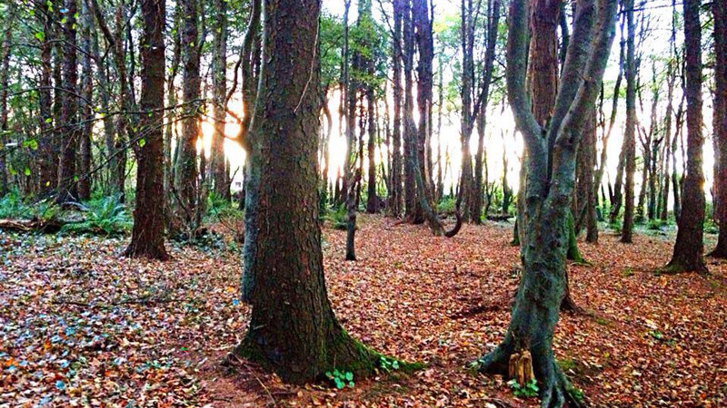
- Carey’s Castle is believed to have been built at some stage during the 1800’s by the Carey family, who were local schoolmasters in the Clonmel area. A number of architectural styles are evidentin the ruined remains, including; Gothic windows, a Celtic round tower, a Norman Keep, and both Romanesque and Gothic arches. The castle and buildings are located a mere 500 metres from the parking area and are well worth a visit.
Walk details
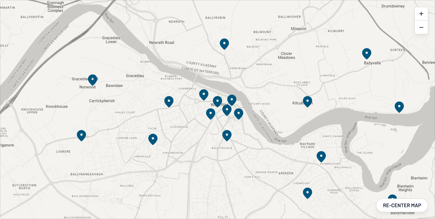
East Munster Way Map
709.28 KBTrail name
East Munster Way
Grade
Moderate
Distance
70 km (apprx. 1/3 of entire route in Co. Waterford)
Type
National Way Marked Walking Route – linear
Estimated time
3 days
Total ascent
1375 metres
Terrain
Forestry tracks, riverside tow paths and quiet local roads
Way marking
Yellow arrow on black background
Parking and trailhead
Carrick-on-Suir and Clogheen, Co. Tipperary
Carey’s Castle, Coillte woodland and parking area is an ideal location to sample the East Munster Way in Co. Waterford
Trailhead grid ref/GPS
Carrick-on-Suir: S 404 217; 52.34551, -7.40711
Clogheen: S 004 138; 52.276, -7.99413
Carey’s Castle: S 186 191; 52.32379, -7.72779
Minimum gear
Walking/hiking boots, rain/wind gear, fluid, snacks, phone
Dogs allowed
Not recommended (check local section when planning your trip)
Website
sportireland.ie/outdoors
Map
Overview
The East Munster Way is a 70-75 km linear hiking trail in Ireland that travels through Co. Tipperary and into Co. Waterford. Considered a moderate route, it is typically completed over three days.
Related experiences
Location
type
Grade
distance