
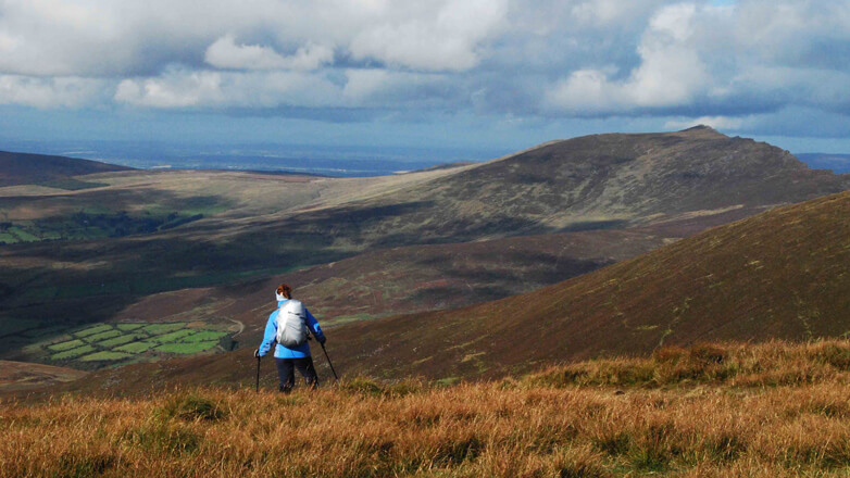

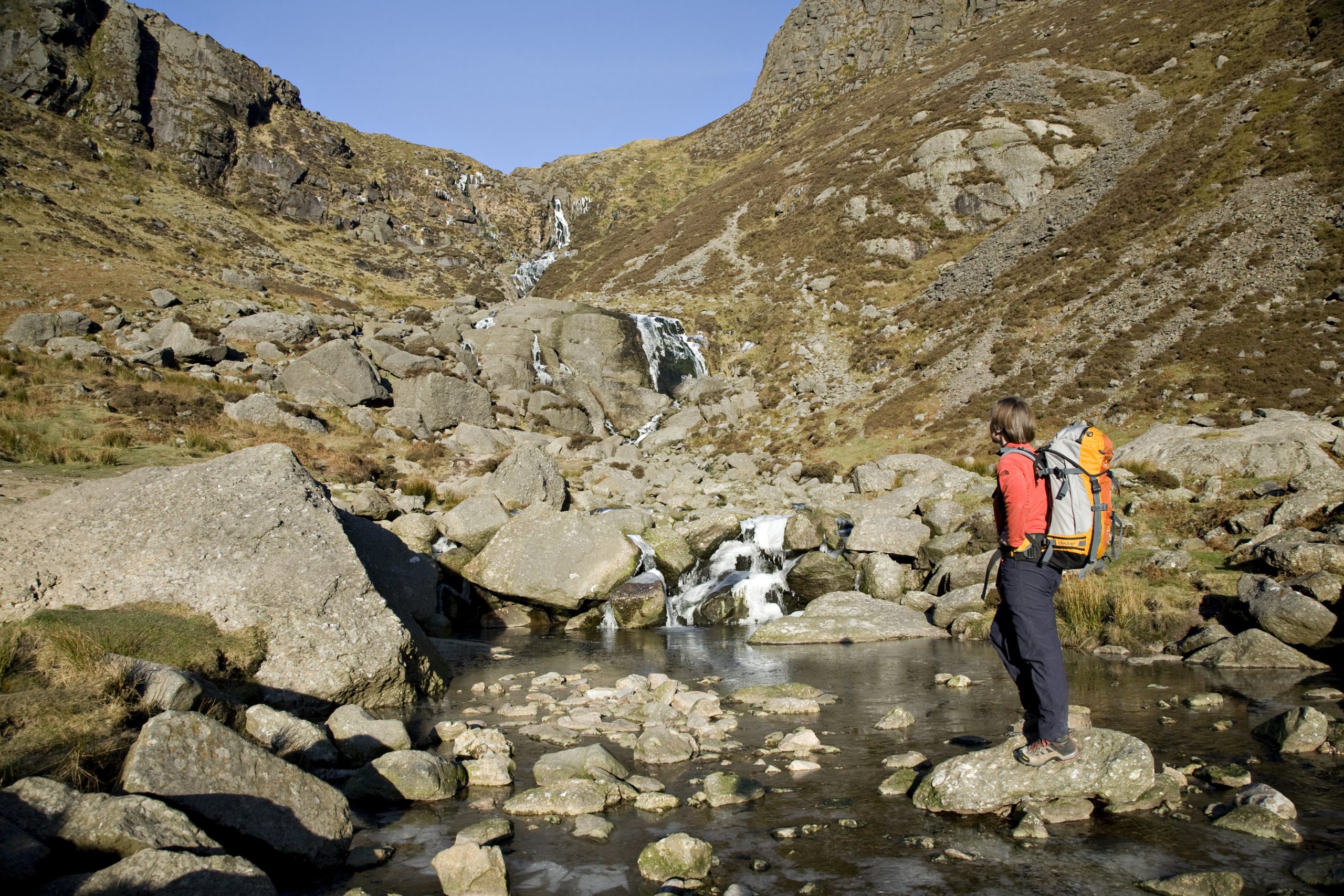

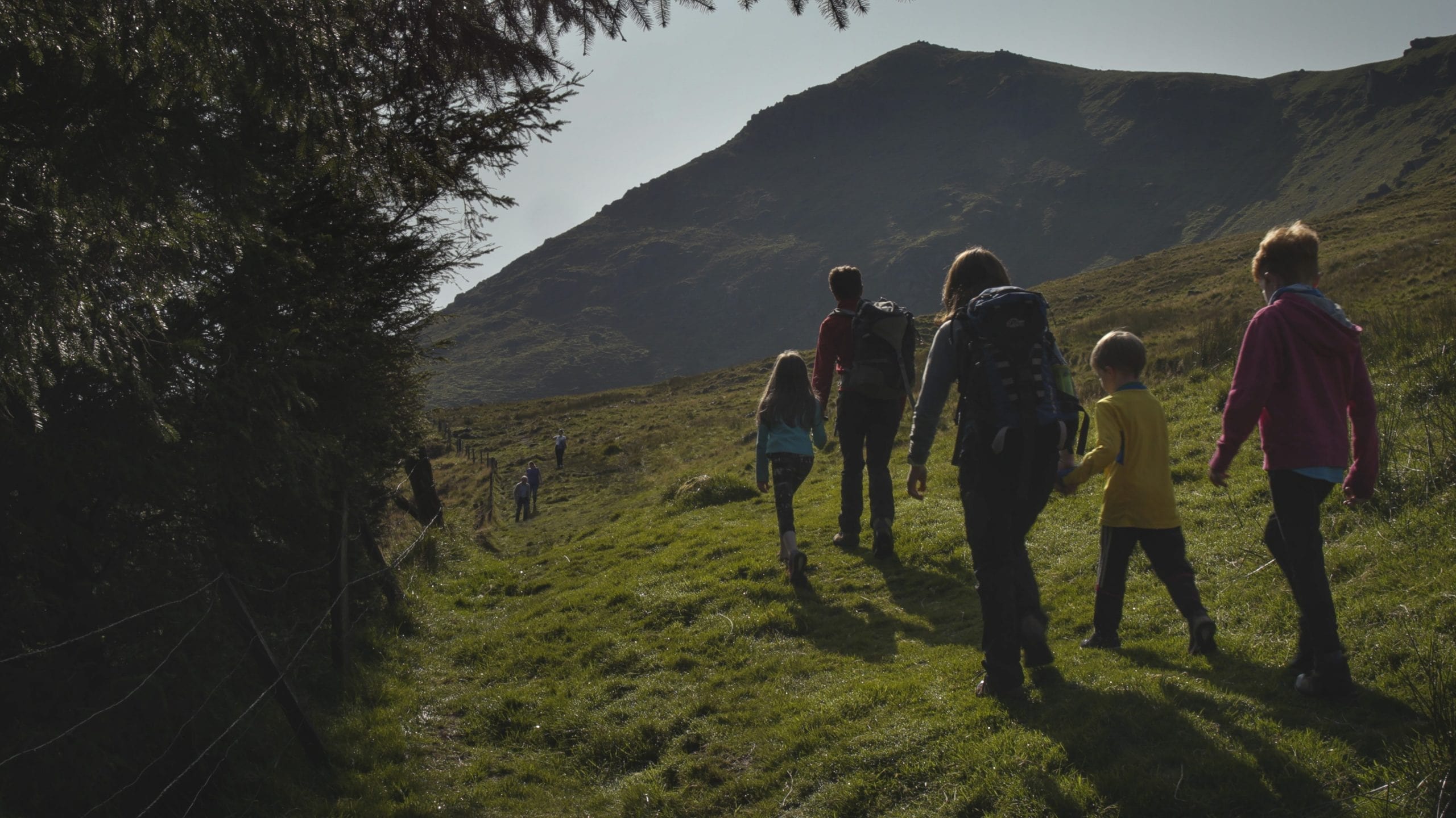
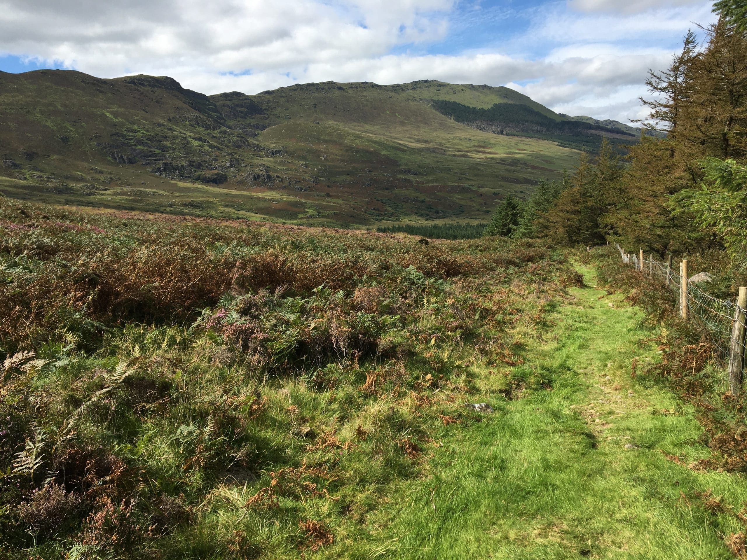
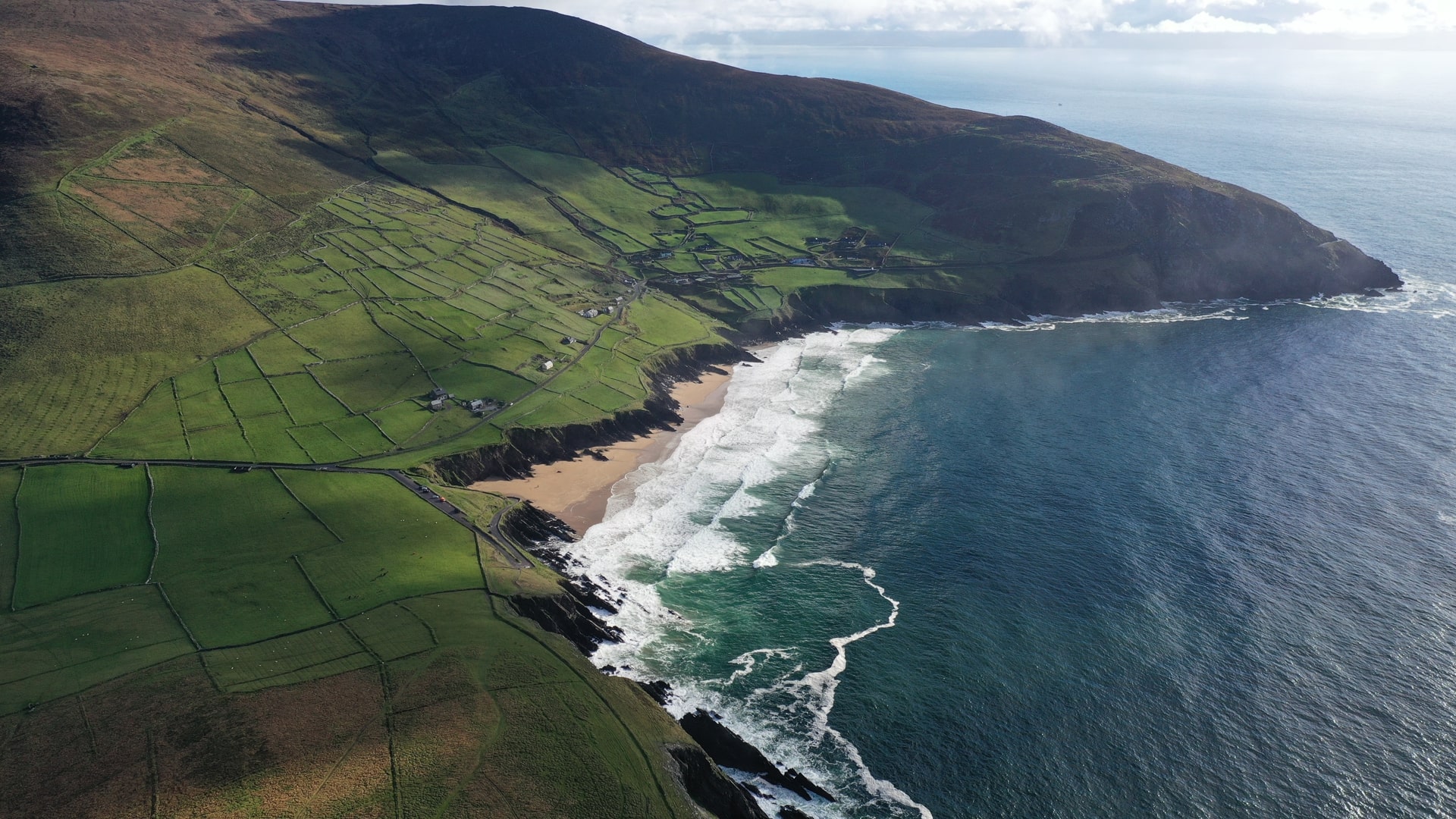
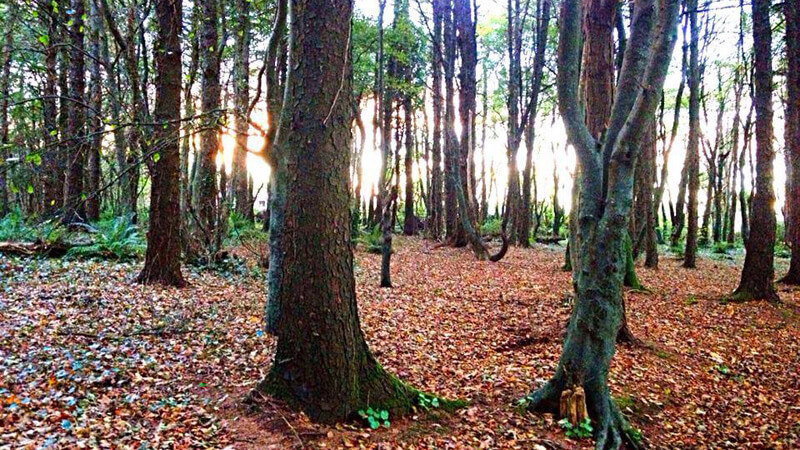

The most challenging of the Nire Valley trails, this 9km loop rewards experienced hikers with breathtaking views from The Gap and Knockanaffrin Ridge. Traverse rocky uplands, pass the dry hollow of Coumlara, and, on clear days, catch sight of Slievenamon. A strenuous but unforgettable mountain adventure. Trailhead: Nire Valley Car Park.
Coumduala Loop Walk, Nire Valley
Coumduala Loop Walk – Nire Valley / Siúlóid Lúibe Chom Duala – Gleann na hUidhre
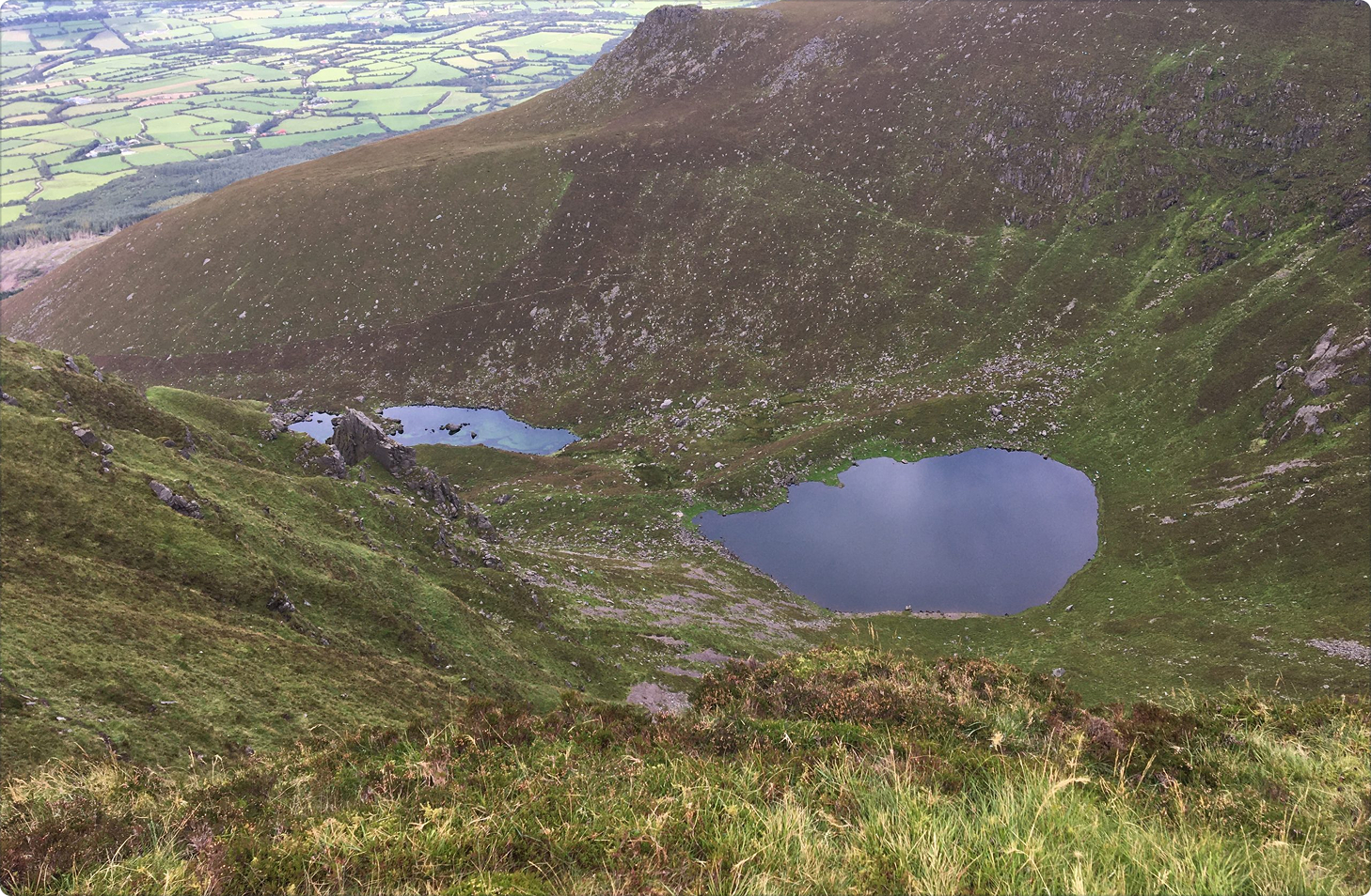
The Coumduala Loop Walk is a Fáilte Ireland National Looped Walking Trail. The trail is waymarked with purple markers, the purple route. This is the most difficult and the longest of the four waymarked Nire Valley walking trails. On this trail you will see Coumlara, a hollow with no lake as well as panoramic views of the surrounding counties from The Gap. In addition to these, this trail leads you up part of the Knockanaffrin Ridge and if visibility is clear you will also see the high peak of Slievenamon meaning “The Mountain of Women”.
Directions From Dungarvan follow the signs for the N72 West via the R672 (go through one roundabout). Continue onto the N72 for 300m and turn right onto the R672 just after the petrol station on your right. Continue onto the R671. Turn right toward Knockaun. Proceed along this road in an easterly direction for about 4km until you come to a bridge. At this point take the right fork before you cross the bridge and continue on for about a further 4km until you come to a car park (GPS: 52.267° N 7.595° W) on your left hand side.
Walk details
Nire-Valley-Walks-Map-and-information
1349.82 KBTrail name
Coumdala Loop Walk
Distance
9 km
Duration
3.5-4.5 hours
Grade
Strenuous
Type
Loop
Terrain
Upland/mountain terrain with some steep ascents/descents and uneven rocky ground
Ascent
540 metres (highest point 630 metres)
Trailhead grid ref/GPS
75 S 227 128; 52.266900, -7.595231
Minimum gear
Hiking boots, wind/water proof clothing, fluid, snack, mobile phone
Trailhead & parking
Nire Valley car park
Nearest town/village
Ballymacarbry
Map
Overview
The most challenging of the Nire Valley trails, this 9km loop rewards experienced hikers with breathtaking views from The Gap and Knockanaffrin Ridge. Traverse rocky uplands, pass the dry hollow of Coumlara, and, on clear days, catch sight of Slievenamon. A strenuous but unforgettable mountain adventure. Trailhead: Nire Valley Car Park.
Ballymacarbry
Related experiences
Location
type
Grade
distance