
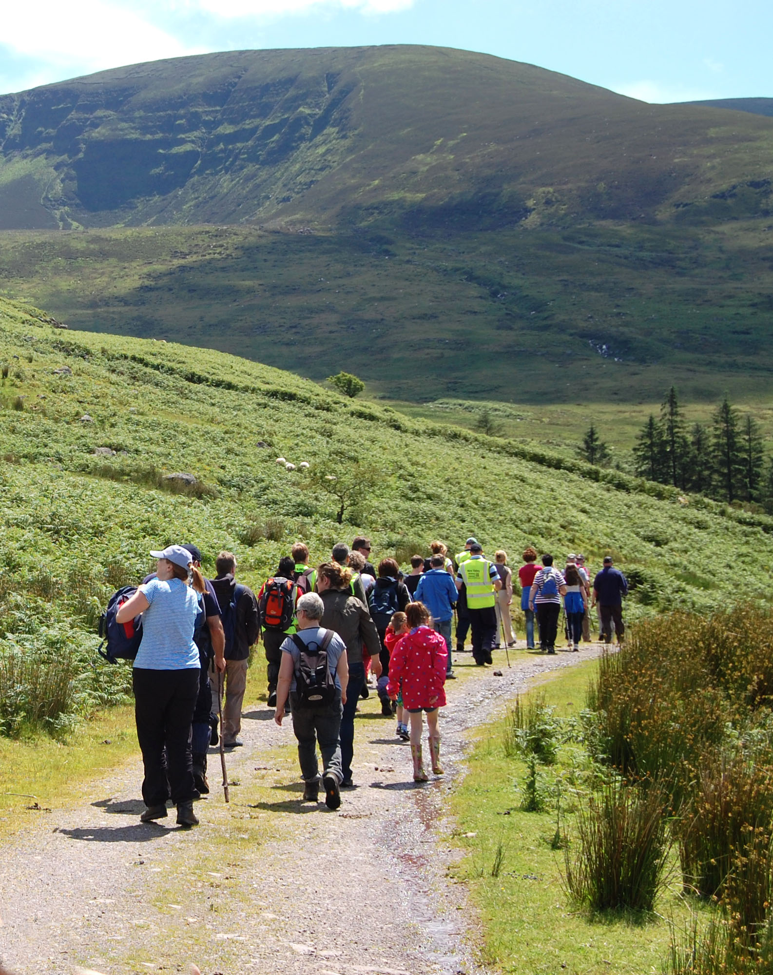
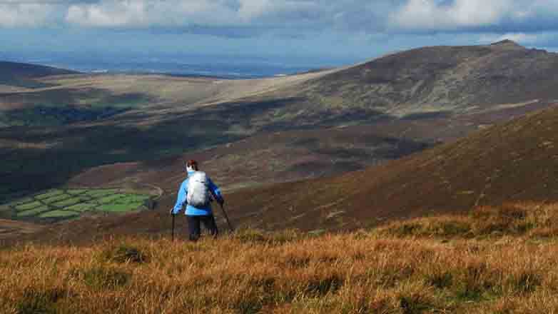

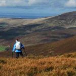

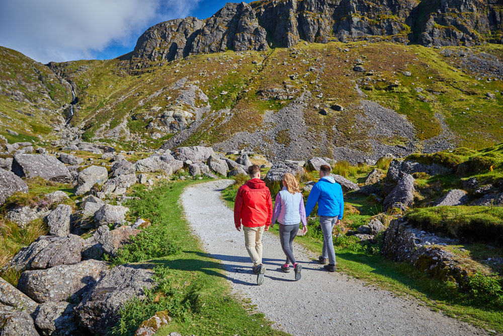

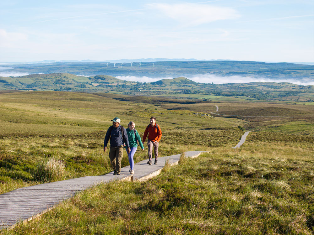
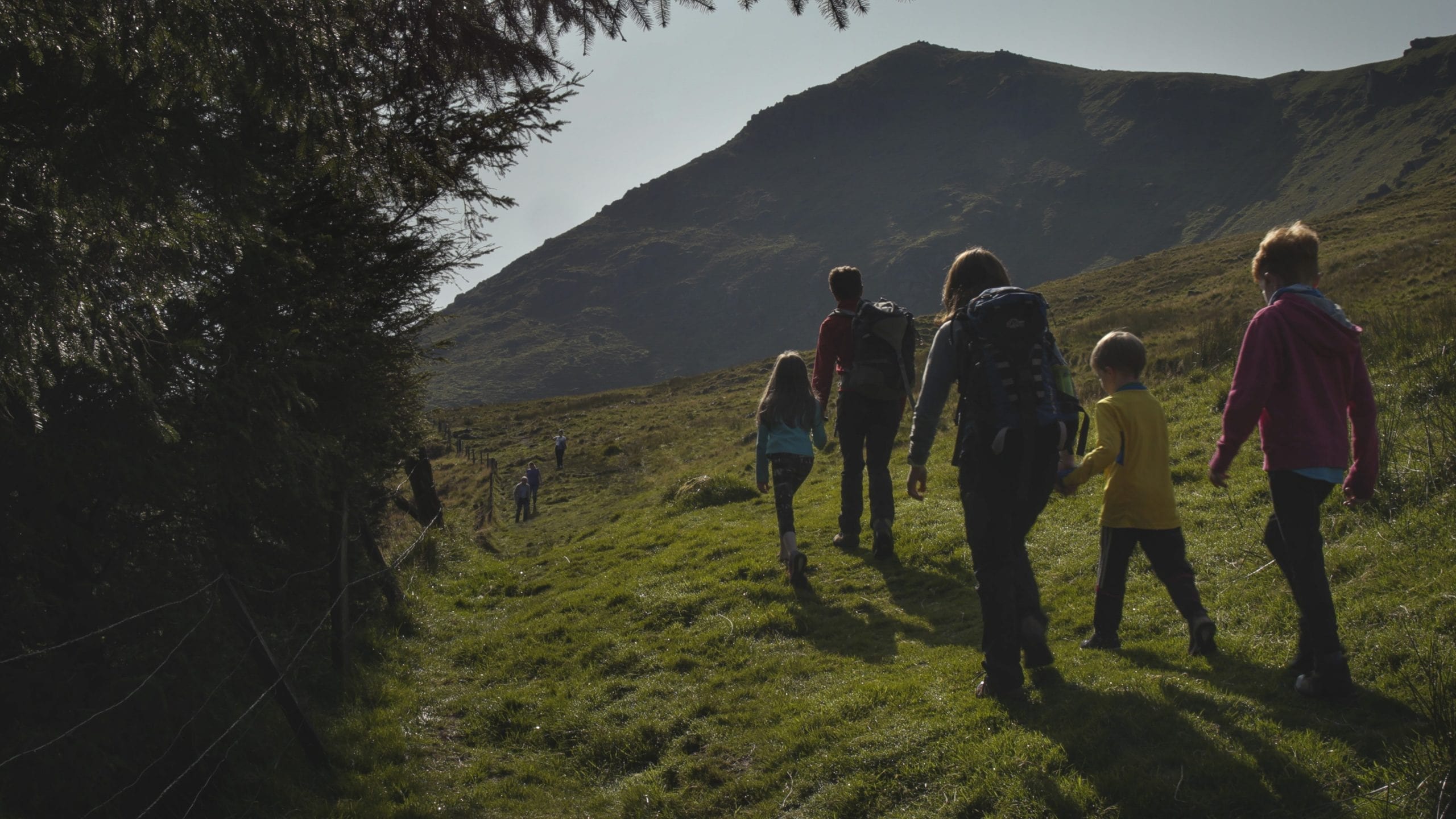
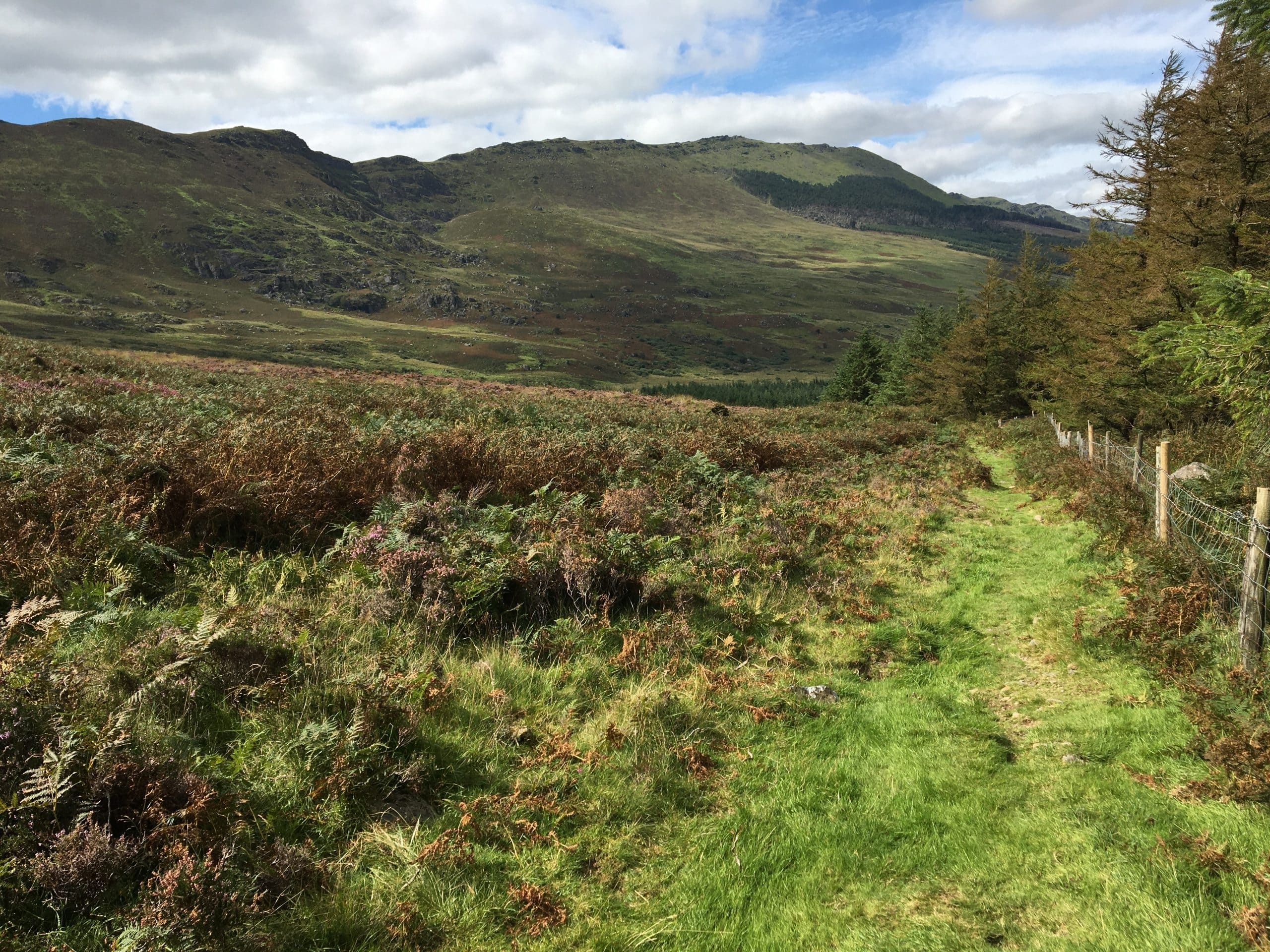
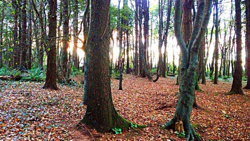

Explore one of the Comeraghs’ most striking dry coums on this 6.5km looped trail through the Nire Valley. Marked by red waymarkers, the moderate route offers sweeping mountain views, rocky paths, and a true upland hiking experience. Ideal for seasoned walkers with a good level of fitness.
Coumlara Loop Walk, Nire Valley
Coumlara Loop Walk – Nire Valley / Siúlóid Lúibe Chom Ladhra – Gleann na hUidhre
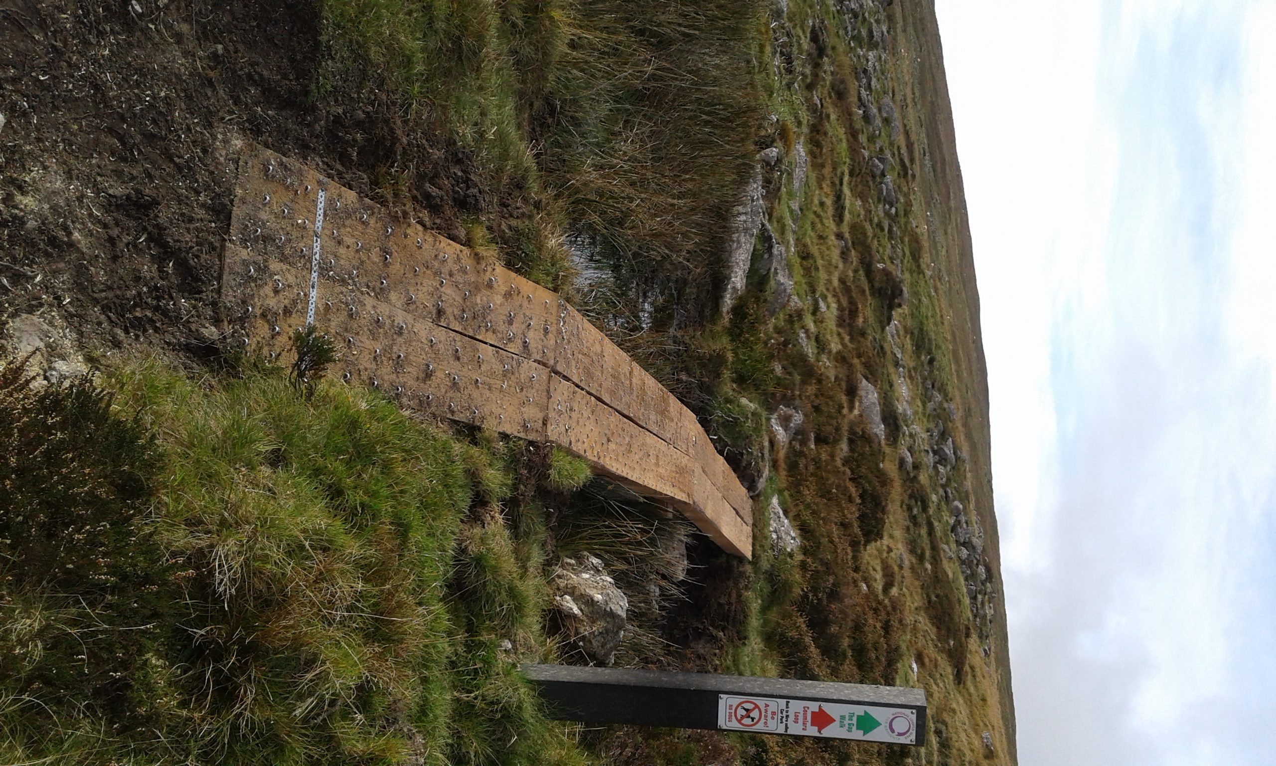
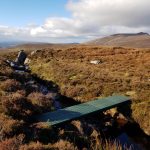
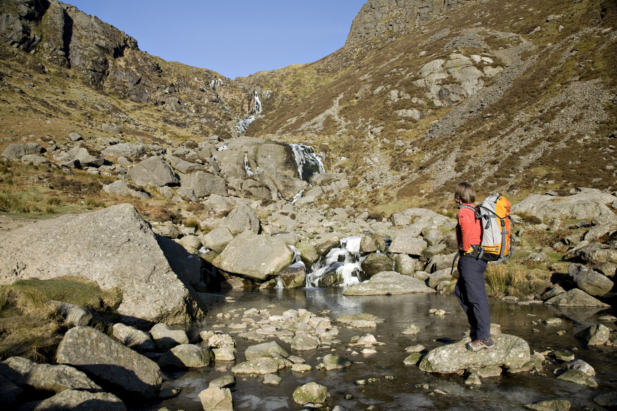
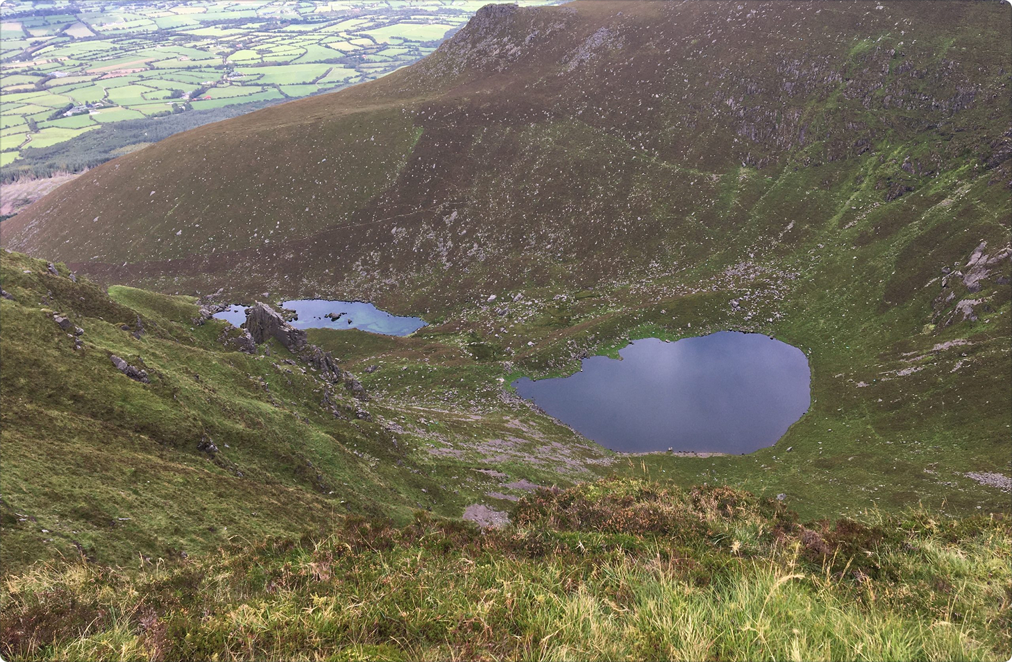
The Coumlara Loop Walk is a Fáilte Ireland National Looped Walking Trail. The trail is marked with red waymarkers, the red route. Comeragh, as in Comeragh Mountains, means, “place of hollows” or coums. The Comeragh Mountains and in particular, the Nire Valley, are famous for their lakes. However not every Coum, the Irish word for hollow, has a lake. Coumlara is one of the best examples of a dry Coum – a hollow with no lake. Coumlara itself means, “hollow where the river forks”, as ‘Lara’ or ‘Ladhar’ (pronounced ‘lyre’) in Irish, is the piece of ground at the confluence of two rivers.
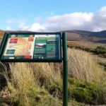
Directions From Dungarvan follow the signs for the N72 West via the R672 (go through one roundabout). Continue onto the N72 for 300m and turn right onto the R672 just after the petrol station on your right. Continue onto the R671. Turn right toward Knockaun. Proceed along this road in an easterly direction for about 4km until you come to a bridge. At this point take the right fork before you cross the bridge and continue on for about a further 4km until you come to a car park (GPS: 52.267° N 7.595° W) on your left hand side.
Walk details
Nire-Valley-Walks-Map-and-information
1349.82 KBTrail name
Coumlara Loop Walk
Distance
6.5 km
Duration
3-4 hours
Grade
Moderate
Type
Loop
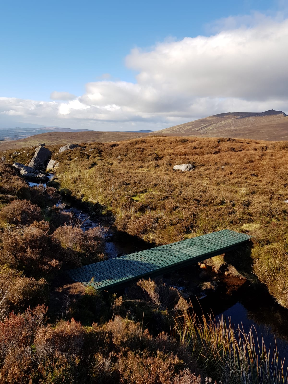
Terrain
Upland/mountain terrain with some steep ascents/descents and uneven rocky ground
Ascent
350 metres (highest point 550 metres)
Trailhead grid ref/GPS
75 S 227 128; 52.266900, -7.595231
Minimum gear
Hiking boots, wind/water proof clothing, fluid, snack, mobile phone
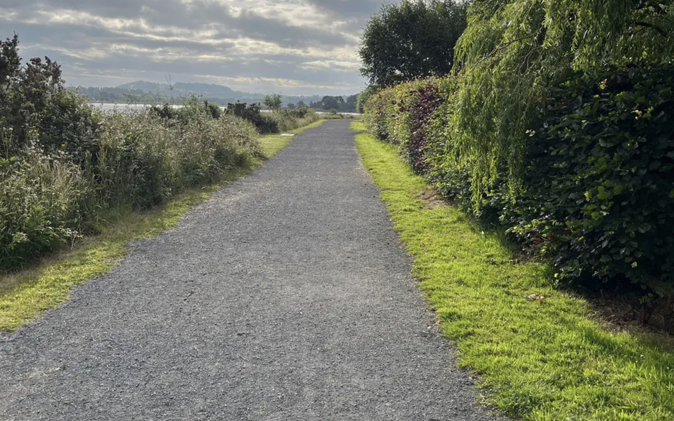
Trailhead & parking
Nire Valley car park
Nearest town/village
Ballymacarbry
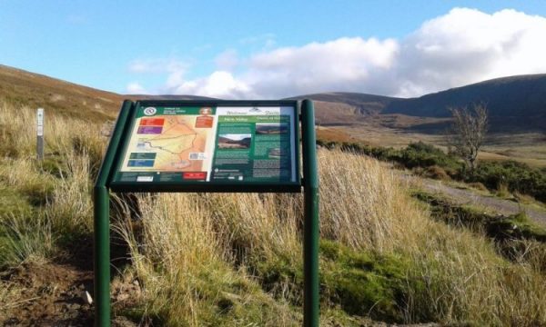
Map
Overview
Explore one of the Comeraghs’ most striking dry coums on this 6.5km looped trail through the Nire Valley. Marked by red waymarkers, the moderate route offers sweeping mountain views, rocky paths, and a true upland hiking experience. Ideal for seasoned walkers with a good level of fitness.
Ballymacarbry
Related experiences
Location
type
Grade
distance