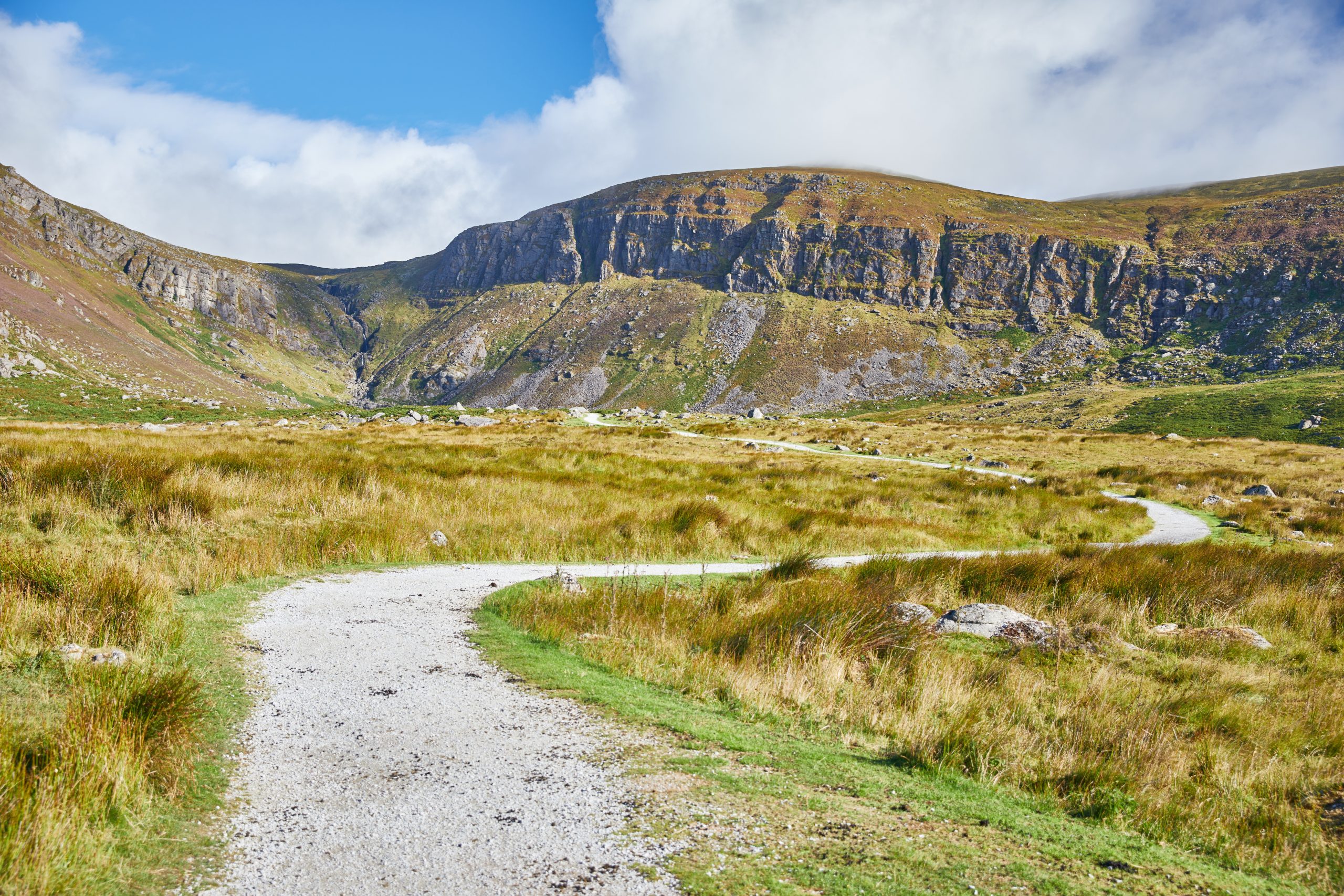
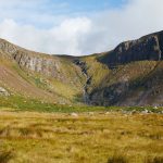

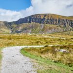


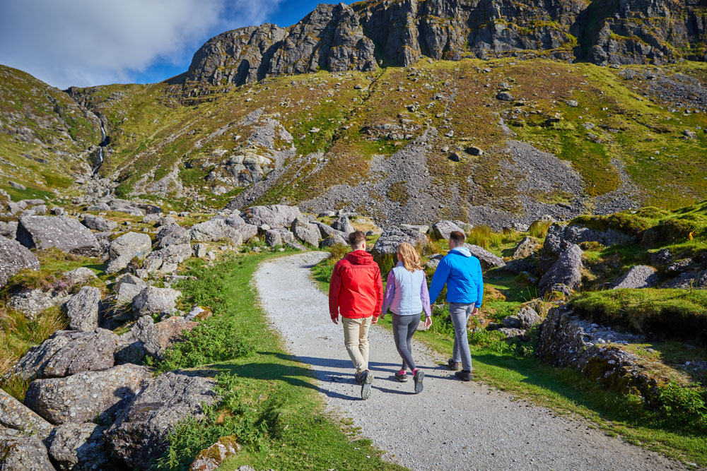


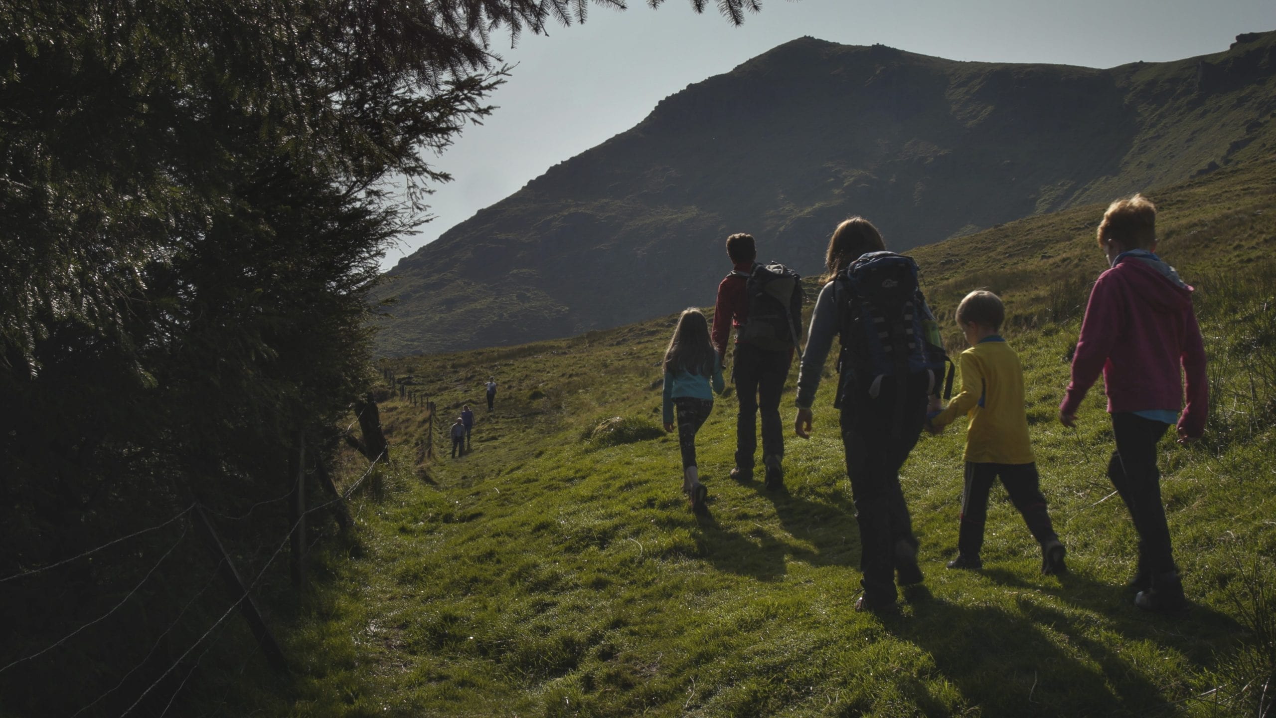

The Mahon falls Walk is a pleasant and easy family walk, which is popular with visitors and locals a like.
Mahon Falls Walk
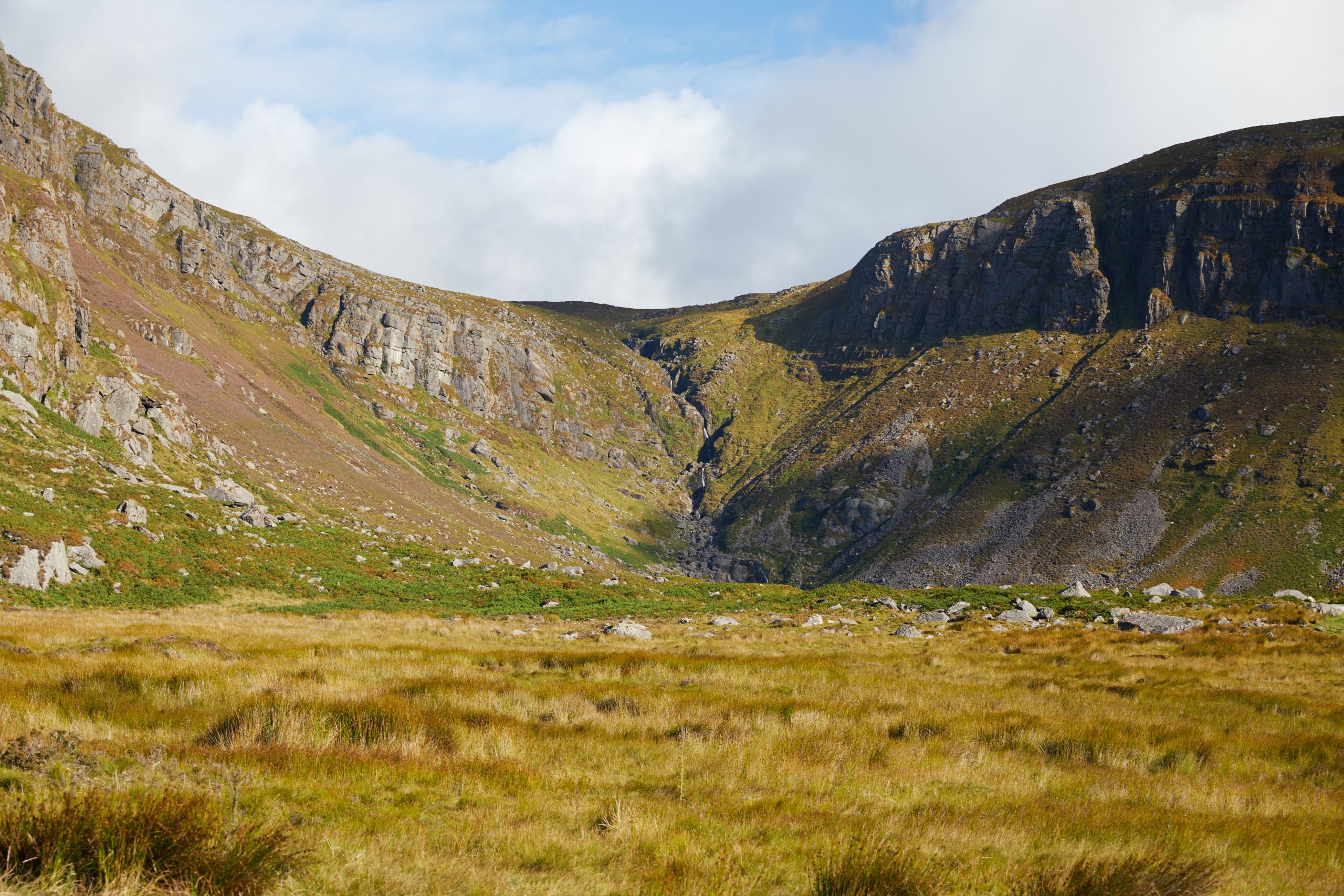
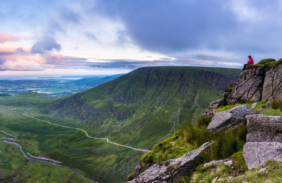
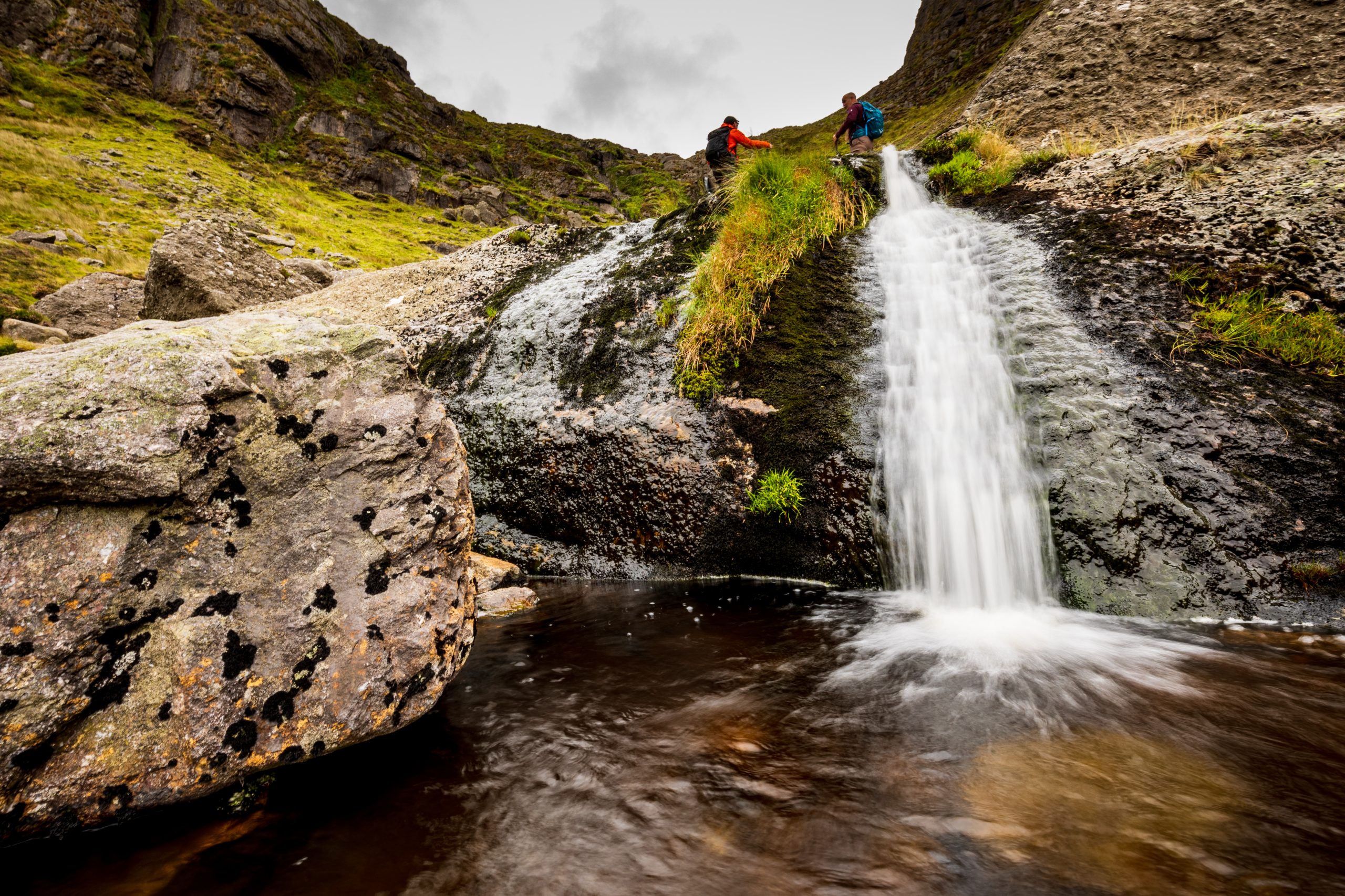
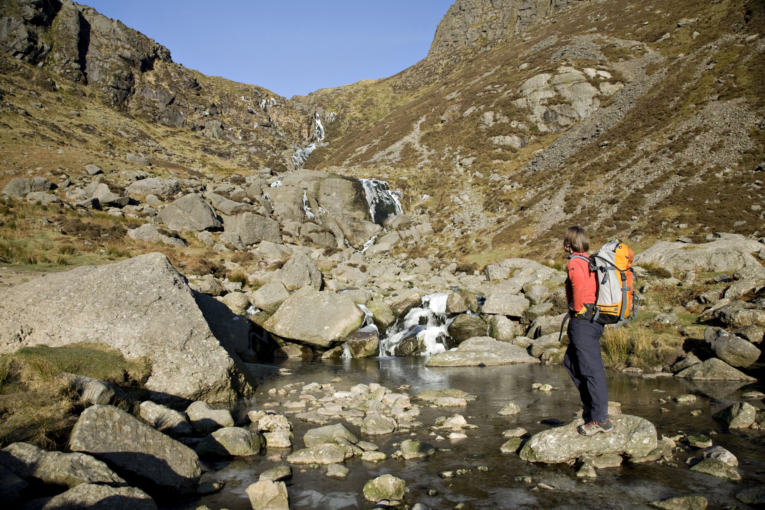
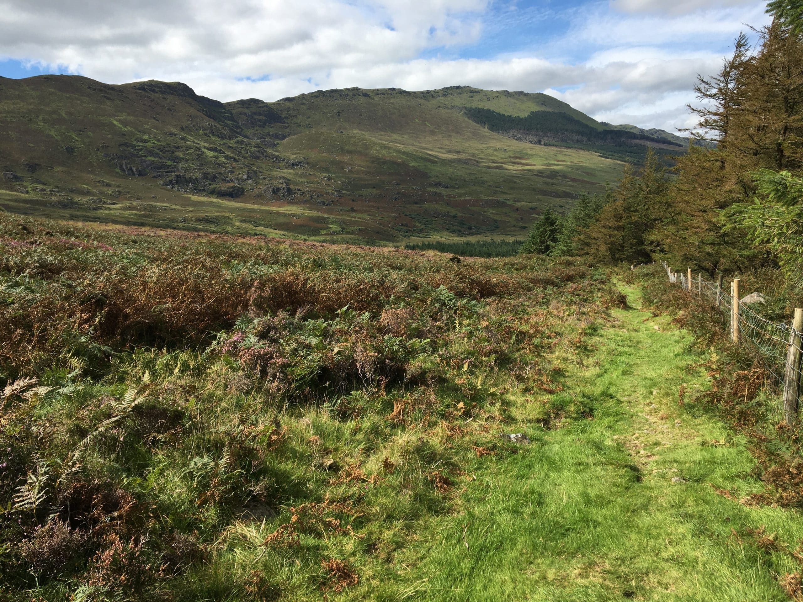
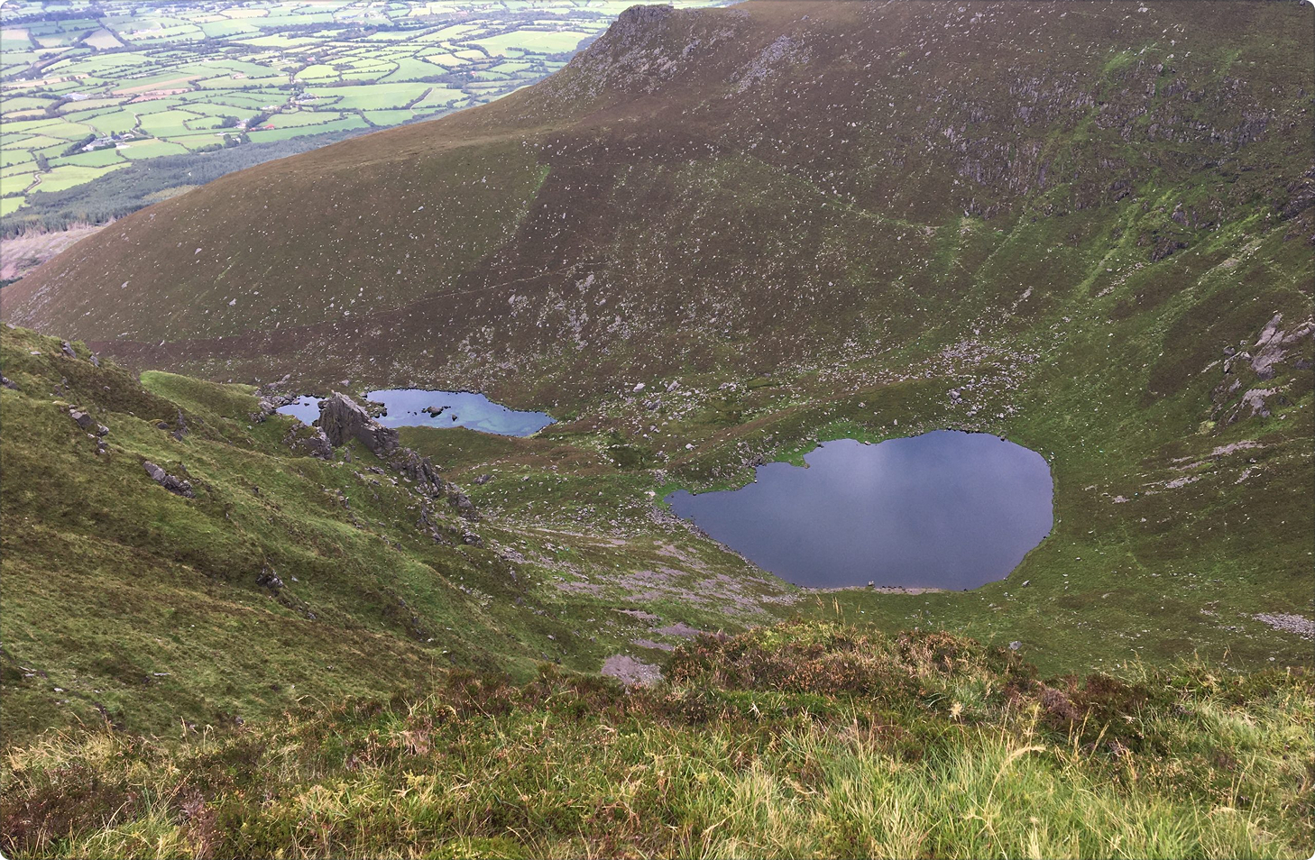
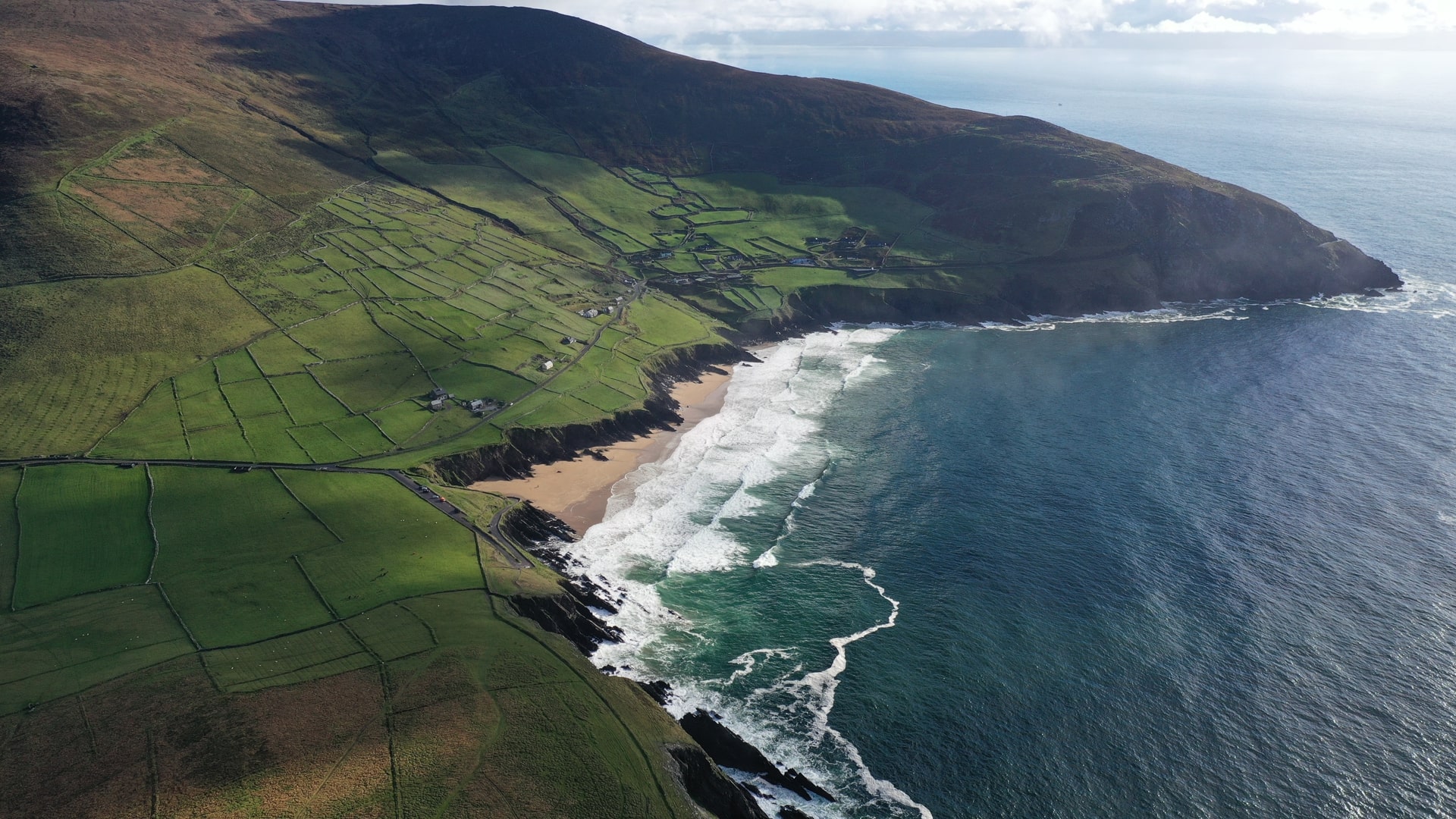
Coum Mahon is one of many coums or corries in the Comeragh Mountains resulting from the Munsterian Ice Age glaciations some 100,000 years ago. Great masses of ice, or glaciers hollowed out the rock as they moved southwards over the Irish landscape. Coum Mahon is the Hollow of the River Mahon and the 300m cascade forms the Mahon Falls.
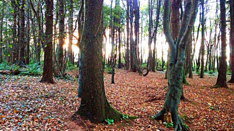
The damp habitat around the boulders and Falls favours plants such as Wilson’s Filmy-fern and Fir Clubmoss. Great Wood-rush also occurs in the area. The wider landscape includes moorland, crags and conifer forests, which provide habitat for birds that nest in uplands and forage around coniferous forest. Look out for the Wheatear, Siskin, Crossbill and Meadow Pipit. Birds of Prey known in the wider Comeragh area include Peregrine Falcon, Buzzard, Kestrel and Merlin. Mammals sighted in the area include rabbit and fox, while forest areas provide habitat for Red Squirrel and the elusive Pine Marten.
Directions
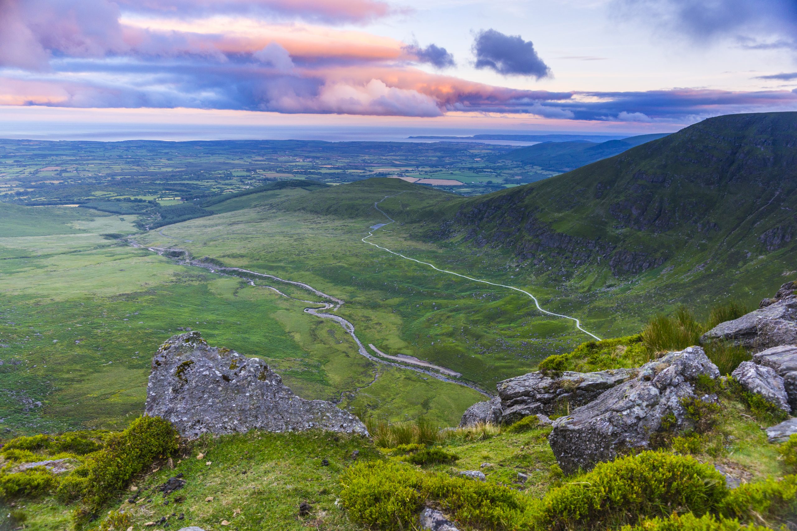
Following the signs for Mahon Falls, from Dungarvan and Waterford City, exit the N25, going west off the R676 at Mahon Bridge. Take a right turn immediately and follow the signs for ‘Comeragh Drive’. Continue on for about 1km turn right and travel inwards having the Mahon River on your right. There is parking on your left close by the pathway to the falls.
Did You Know
• Mahon Falls is overlooked by Knockaunapeebra (726m) meaning Hill of the Piper. It is said that on cold winter nights, the sound of the uileann pipes can be heard over the mountain here from the piper of Kilclooney who lost his way and died.
• Remnants of industrial heritage: The River Mahon once powered five mills along its course including the 19th century corn mill at Furraleigh of which a tunnel and chimney remain.
• Check out the Magic Road phenomenon after you cross the cattle grid as you approach Mahon Falls.
Walk details
Mahon-Valley
642 KBTrail name
Mahon Falls Walk
Distance
2.5 km (return)
Duration
40 minutes
Grade
Gravel path
Type
Linear
Trailhead grid ref/GPS
75 S 314 080; 52.22379,-7.54121
Minimum gear
Comfortable walking shoes, rain gear, fluid, snack, mobile phone
Trailhead & parking
Mahon Falls car park
Map
Overview
The Mahon falls Walk is a pleasant and easy family walk, which is popular with visitors and locals a like.
Comeraghs
Related experiences
Location
type
Grade
distance